Mostaganem night lights from space
Night Light of Mostaganem from space (Algeria) Src. Average luminocity for 10x10km area is 59.3425% and for 50x50km: 8.928%.
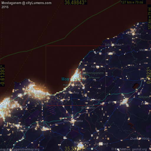
Analysis of Mostaganem night lights 2016
Square area 10x10 km:
 14.29%
90-99
13.55%80-89
6.78%70-79
7.33%60-69
13.92%50-59
2.56%40-49
5.68%30-39
6.78%20-29
16.12%10-19
11.17%0-9
1.83%Square area 50x50 km:
0.79%90-99
1.02%80-89
1.05%70-79
1.11%60-69
1.78%50-59
0.76%40-49
1.09%30-39
2.24%20-29
2.43%10-19
6.21%0-9
81.52%Clear (daylight) street map image can be seen on geolist.org.
Map coordinates:
36° 29' 54.3" North, 0° 36' 50.2" West
35° 55' 52.1" North, 0° 5' 21" East
35° 21' 35.2" North, 0° 47' 32.3" East
Some cities around Mostaganem sort by population:
• Mascara
59.6 km =37 mi,  175°
175°
• Relizane
47.3 km =29.4 mi,  117°
117°
• Bir el Djir
61.8 km =38.4 mi,  247°
247°
• Sig
51.6 km =32.1 mi,  209°
209°
• Aïn el Bya
38 km =23.6 mi, 248°
• Sidi ech Chahmi
62.9 km =39.1 mi,  241°
241°
• Djidiouia
66.6 km =41.4 mi,  90°
90°
• Zemoura
64.4 km =40 mi,  111°
111°
2487134 (p: 130,000)
Sources (retrieved 2019-11-25):
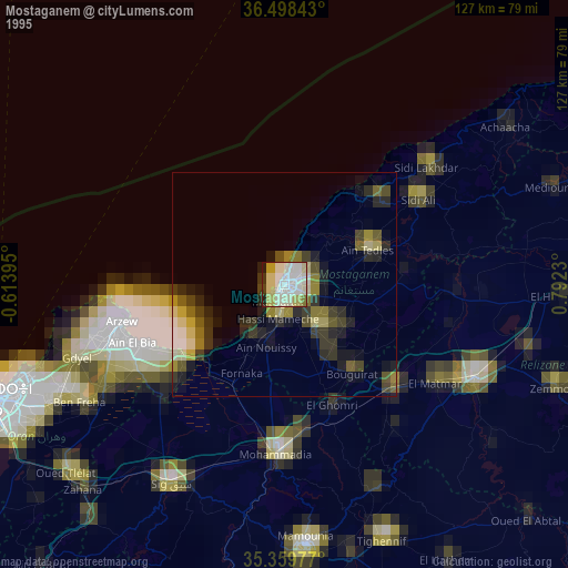
» NASA, Earths city lights 1995
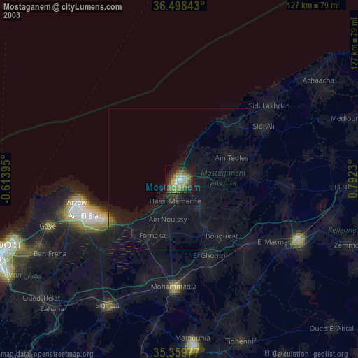
» NASA city lights 2003
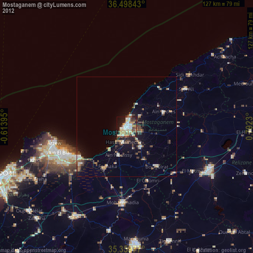
» Earth at Night: Flat Maps 2012, 2016