Sfizef night lights from space
Night Light of Sfizef (Sidi Bel Abbès) from space (Algeria) Src. Average luminocity for 10x10km area is 5.6566% and for 50x50km: 1.8382%.
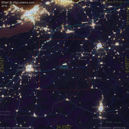

Analysis of Sfizef night lights 2016
Square area 10x10 km:
 0.51%
0.51%90-99
1.01%80-89
1.68%70-79
0.67%60-69
0.84%50-59
0%40-49
0.34%30-39
0.84%20-29
0.34%10-19
0.51%0-9
93.27%Square area 50x50 km:
0.08%90-99
0.27%80-89
0.49%70-79
0.22%60-69
0.29%50-59
0.09%40-49
0.23%30-39
0.52%20-29
0.19%10-19
0.16%0-9
97.46%Clear (daylight) street map image can be seen on geolist.org.
Map coordinates:
35° 48' 24.9" North, 0° 56' 50.9" West
35° 14' 4.7" North, 0° 14' 39.7" West
34° 39' 29.9" North, 0° 27' 31.6" East
Some cities around Sfizef sort by population:
• Sidi Bel Abbès
35.5 km =22.1 mi,  261°
261°
• Mascara
39.3 km =24.4 mi,  62°
62°
• Saïda
57.6 km =35.8 mi,  141°
141°
• Es Senia
57.4 km =35.7 mi,  323°
323°
• Sig
33 km =20.5 mi,  8°
8°
• Sidi ech Chahmi
53.5 km =33.2 mi,  331°
331°
• Bou Hanifia el Hamamat
19.7 km =12.2 mi, 63°
• ’Aïn el Berd
28.3 km =17.6 mi,  300°
300°
2481639 (p: 31,081)
Sources (retrieved 2019-11-25):
» Earth at Night: Flat Maps 2012, 2016