Sig night lights from space
Night Light of Sig (Mascara) from space (Algeria) Src. Average luminocity for 10x10km area is 20.7857% and for 50x50km: 7.4577%.
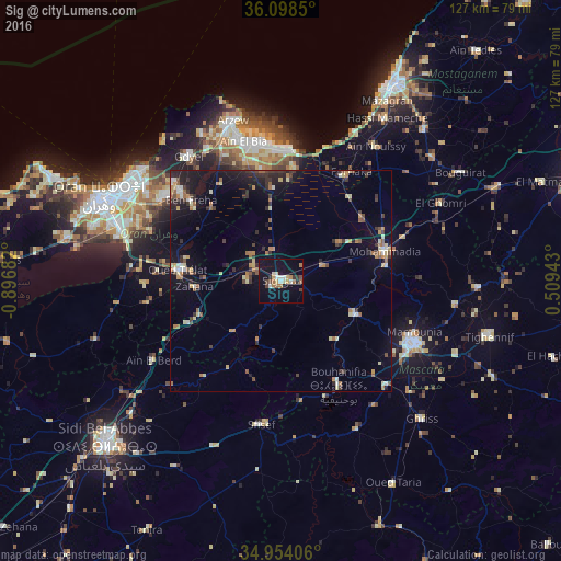
Analysis of Sig night lights 2016
Square area 10x10 km:
 1.47%
1.47%90-99
3.66%80-89
2.38%70-79
2.01%60-69
4.95%50-59
0.92%40-49
2.93%30-39
2.93%20-29
0.73%10-19
24.91%0-9
53.11%Square area 50x50 km:
0.42%90-99
0.84%80-89
0.94%70-79
0.79%60-69
1.3%50-59
0.81%40-49
0.91%30-39
1.69%20-29
1.96%10-19
5.73%0-9
84.61%Clear (daylight) street map image can be seen on geolist.org.
Map coordinates:
36° 5' 54.6" North, 0° 53' 48.6" West
35° 31' 42" North, 0° 11' 37.3" West
34° 57' 14.6" North, 0° 30' 33.9" East
Some cities around Sig sort by population:
• Mascara
33.6 km =20.9 mi,  115°
115°
• Es Senia
41.1 km =25.5 mi,  288°
288°
• Bir el Djir
38.2 km =23.7 mi,  303°
303°
• Aïn el Bya
32.2 km =20 mi,  342°
342°
• Sidi ech Chahmi
33 km =20.5 mi, 296°
• Sfizef
33 km =20.5 mi,  188°
188°
• Bou Hanifia el Hamamat
27.1 km =16.8 mi,  151°
151°
• ’Aïn el Berd
34.2 km =21.3 mi,  237°
237°
2479609 (p: 58,877)
Sources (retrieved 2019-11-25):
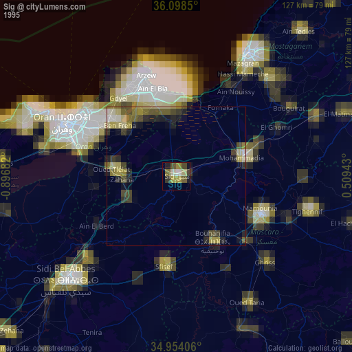
» NASA, Earths city lights 1995
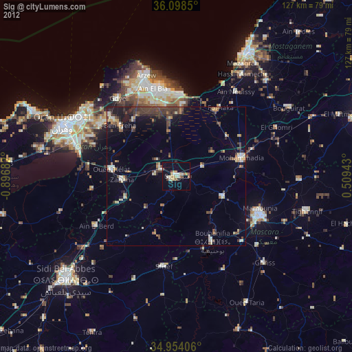
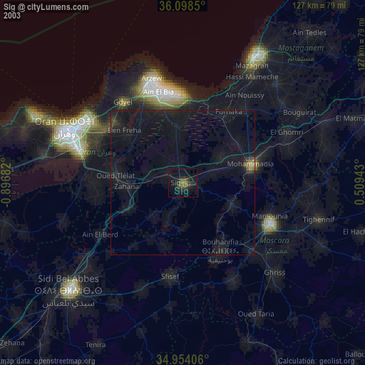
» NASA city lights 2003
» Earth at Night: Flat Maps 2012, 2016