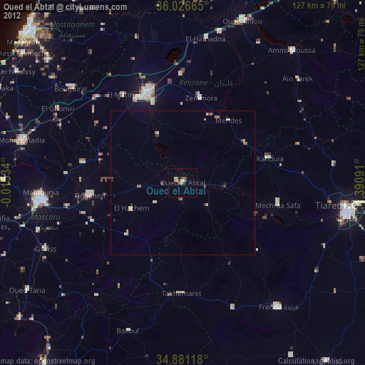
Oued el Abtal night lights from space
Night Light of Oued el Abtal (Mascara) from space (Algeria) Src. Average luminocity for 10x10km area is 4.5238% and for 50x50km: 1.0923%.
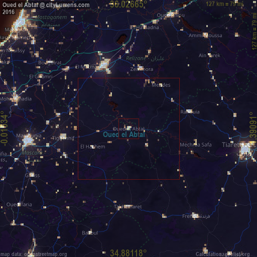
Analysis of Oued el Abtal night lights 2016
Square area 10x10 km:
 0%
0%90-99
0.73%80-89
0.73%70-79
0.73%60-69
0.92%50-59
1.28%40-49
0.73%30-39
0.73%20-29
0%10-19
0%0-9
94.14%Square area 50x50 km:
0.03%90-99
0.1%80-89
0.3%70-79
0.17%60-69
0.22%50-59
0.11%40-49
0.17%30-39
0.26%20-29
0.14%10-19
0.06%0-9
98.44%Clear (daylight) street map image can be seen on geolist.org.
Map coordinates:
36° 1' 35.9" North, 0° 0' 55.2" West
35° 27' 21.4" North, 0° 41' 16" East
34° 52' 52.2" North, 1° 23' 27.3" East
Some cities around Oued el Abtal sort by population:
• Tiaret
57.8 km =35.9 mi,  99°
99°
• Mascara
50 km =31.1 mi,  262°
262°
• Relizane
33.5 km =20.8 mi,  339°
339°
• Frenda
54.4 km =33.8 mi,  142°
142°
• Djidiouia
54.2 km =33.7 mi,  13°
13°
• Bou Hanifia el Hamamat
68.7 km =42.7 mi, 256°
• Ammi Moussa
59.7 km =37.1 mi,  39°
39°
• Zemoura
30.3 km =18.8 mi, 11°
2485636 (p: 22,819)
Sources (retrieved 2019-11-25):
» Earth at Night: Flat Maps 2012, 2016