Relizane night lights from space
Night Light of Relizane from space (Algeria) Src. Average luminocity for 10x10km area is 33.6451% and for 50x50km: 4.2565%.
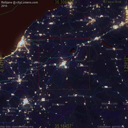
Analysis of Relizane night lights 2016
Square area 10x10 km:
 4.02%
4.02%90-99
5.59%80-89
9.79%70-79
2.97%60-69
4.02%50-59
1.75%40-49
2.27%30-39
2.27%20-29
4.9%10-19
43.18%0-9
19.23%Square area 50x50 km:
0.26%90-99
0.42%80-89
0.93%70-79
0.45%60-69
0.61%50-59
0.37%40-49
0.76%30-39
0.78%20-29
0.82%10-19
2.41%0-9
92.19%Clear (daylight) street map image can be seen on geolist.org.
Map coordinates:
36° 18' 21.7" North, 0° 8' 49.7" West
35° 44' 14.4" North, 0° 33' 21.6" East
35° 9' 52.5" North, 1° 15' 32.8" East
Some cities around Relizane sort by population:
• Mascara
53.4 km =33.2 mi,  224°
224°
• Mostaganem
47.3 km =29.4 mi,  297°
297°
• Oued Rhiou
41.1 km =25.5 mi,  52°
52°
• Djidiouia
32.6 km =20.3 mi, 48°
• Ammi Moussa
52.1 km =32.4 mi,  73°
73°
• Oued el Abtal
33.5 km =20.8 mi,  159°
159°
• Mazouna
52.8 km =32.8 mi,  35°
35°
• Zemoura
18 km =11.2 mi,  95°
95°
2483668 (p: 130,094)
Sources (retrieved 2019-11-25):
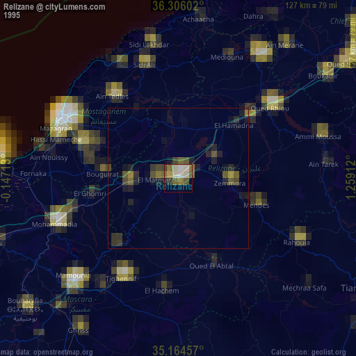
» NASA, Earths city lights 1995
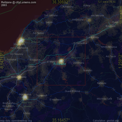
» NASA city lights 2003
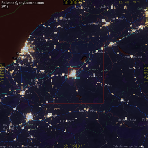
» Earth at Night: Flat Maps 2012, 2016