Ksar Chellala night lights from space
Night Light of Ksar Chellala (Tiaret) from space (Algeria) Src. Average luminocity for 10x10km area is 10.9633% and for 50x50km: 0.6033%.
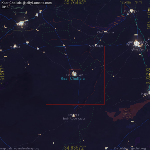
Analysis of Ksar Chellala night lights 2016
Square area 10x10 km:
 1.92%
1.92%90-99
1.92%80-89
1.92%70-79
1.92%60-69
0.7%50-59
0.7%40-49
0.87%30-39
1.22%20-29
0%10-19
0%0-9
88.81%Square area 50x50 km:
0.08%90-99
0.08%80-89
0.11%70-79
0.08%60-69
0.06%50-59
0.06%40-49
0.09%30-39
0.11%20-29
0.02%10-19
0%0-9
99.31%Clear (daylight) street map image can be seen on geolist.org.
Map coordinates:
35° 47' 4.7" North, 1° 36' 56.8" East
35° 12' 44" North, 2° 19' 8" East
34° 38' 8.6" North, 3° 1' 19.3" East
Some cities around Ksar Chellala sort by population:
• Aïn Oussera
59.5 km =37 mi,  63°
63°
• Sougueur
74.8 km =46.5 mi,  267°
267°
• Tissemsilt
63.6 km =39.5 mi,  313°
313°
• Mehdia daira de meghila
56.5 km =35.1 mi,  295°
295°
• El Idrissia
87.4 km =54.3 mi,  167°
167°
• ’Aïn Deheb
81.4 km =50.6 mi,  239°
239°
• Charef
78.8 km =49 mi,  146°
146°
• Theniet el Had
77.8 km =48.3 mi,  340°
340°
2491335 (p: 58,478)
Sources (retrieved 2019-11-25):
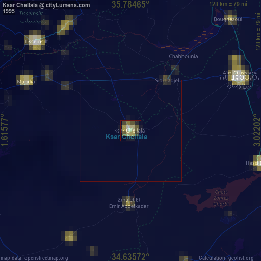
» NASA, Earths city lights 1995
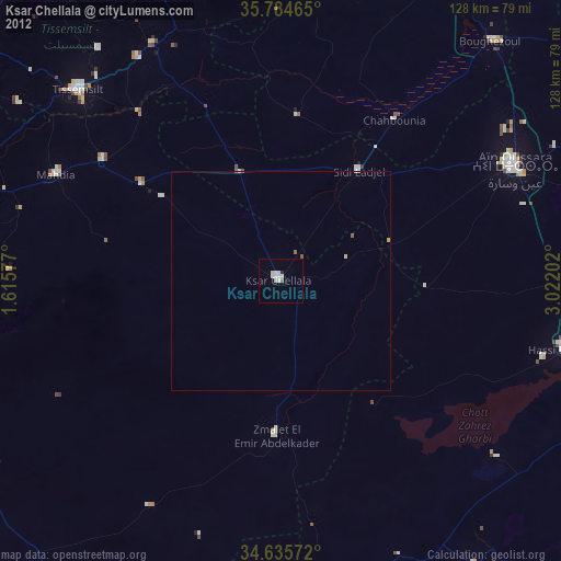
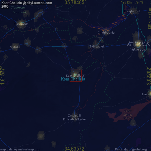
» NASA city lights 2003
» Earth at Night: Flat Maps 2012, 2016