’Aïn Deheb night lights from space
Night Light of ’Aïn Deheb (Tiaret) from space (Algeria) Src. Average luminocity for 10x10km area is 4.6374% and for 50x50km: 0.2805%.
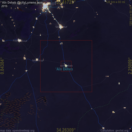
Analysis of ’Aïn Deheb night lights 2016
Square area 10x10 km:
 0%
0%90-99
0.18%80-89
3.48%70-79
0.55%60-69
0.18%50-59
0%40-49
0.73%30-39
0%20-29
0%10-19
0%0-9
94.87%Square area 50x50 km:
0%90-99
0.01%80-89
0.19%70-79
0.02%60-69
0.01%50-59
0.03%40-49
0.03%30-39
0.01%20-29
0.07%10-19
0%0-9
99.63%Clear (daylight) street map image can be seen on geolist.org.
Map coordinates:
35° 25' 2" North, 0° 50' 37.8" East
34° 50' 31.8" North, 1° 32' 49.1" East
34° 15' 47.1" North, 2° 15' 0.3" East
Some cities around ’Aïn Deheb sort by population:
• Tiaret
62.4 km =38.8 mi,  340°
340°
• Aflou
95.7 km =59.5 mi,  147°
147°
• Sougueur
38.5 km =23.9 mi,  353°
353°
• Frenda
51.7 km =32.1 mi,  298°
298°
• Tissemsilt
88.4 km =54.9 mi,  15°
15°
• Ksar Chellala
81.4 km =50.6 mi,  59°
59°
• Mehdia daira de meghila
68.2 km =42.4 mi, 16°
• El Idrissia
100 km =62.1 mi,  116°
116°
2508225 (p: 36,146)
Sources (retrieved 2019-11-25):
» Earth at Night: Flat Maps 2012, 2016