Chelghoum el Aïd night lights from space
Night Light of Chelghoum el Aïd (Mila) from space (Algeria) Src. Average luminocity for 10x10km area is 22.9703% and for 50x50km: 7.3191%.
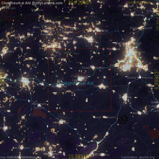
Analysis of Chelghoum el Aïd night lights 2016
Square area 10x10 km:
 2.1%
2.1%90-99
4.02%80-89
6.29%70-79
2.27%60-69
0%50-59
0.7%40-49
2.45%30-39
6.29%20-29
2.62%10-19
22.9%0-9
50.35%Square area 50x50 km:
0.39%90-99
0.79%80-89
0.91%70-79
0.97%60-69
0.76%50-59
0.68%40-49
0.96%30-39
2.2%20-29
1.72%10-19
4.54%0-9
86.08%Clear (daylight) street map image can be seen on geolist.org.
Map coordinates:
36° 43' 42.5" North, 5° 27' 48.2" East
36° 9' 46.3" North, 6° 9' 59.4" East
35° 35' 35.3" North, 6° 52' 10.7" East
Some cities around Chelghoum el Aïd sort by population:
• Constantine
46 km =28.6 mi,  60°
60°
• El Eulma
42.8 km =26.6 mi,  268°
268°
• Mila
33.1 km =20.6 mi,  15°
15°
• Hamma Bouziane
47.4 km =29.5 mi,  54°
54°
• Telerghma
17.6 km =10.9 mi,  106°
106°
• Rouached
34.6 km =21.5 mi,  341°
341°
• Aïn Smara
32.2 km =20 mi,  68°
68°
• Sidi Mérouane
40.7 km =25.3 mi,  12°
12°
2501541 (p: 71,660)
Sources (retrieved 2019-11-25):
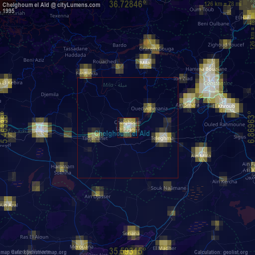
» NASA, Earths city lights 1995
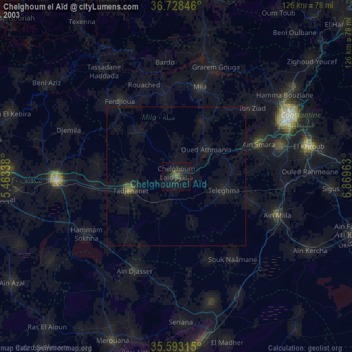
» NASA city lights 2003
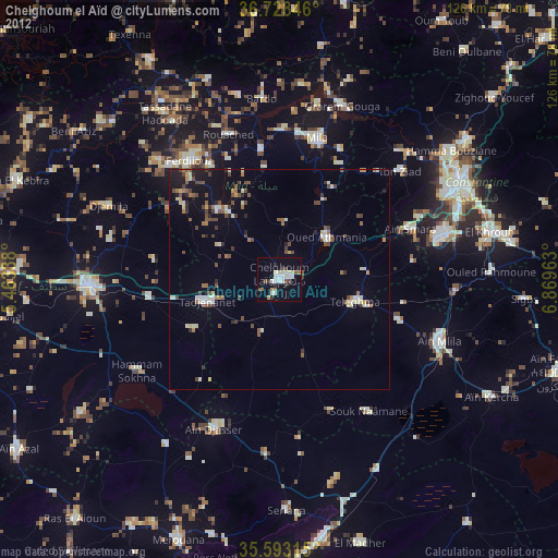
» Earth at Night: Flat Maps 2012, 2016