Râs el Aïoun night lights from space
Night Light of Râs el Aïoun (Batna) from space (Algeria) Src. Average luminocity for 10x10km area is 15.007% and for 50x50km: 7.6292%.
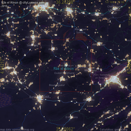
Analysis of Râs el Aïoun night lights 2016
Square area 10x10 km:
 1.57%
1.57%90-99
1.92%80-89
0.52%70-79
2.27%60-69
2.45%50-59
1.4%40-49
2.62%30-39
1.92%20-29
0.7%10-19
6.12%0-9
78.5%Square area 50x50 km:
0.42%90-99
0.91%80-89
0.95%70-79
1.42%60-69
0.62%50-59
0.77%40-49
1.26%30-39
1.64%20-29
1.11%10-19
5%0-9
85.89%Clear (daylight) street map image can be seen on geolist.org.
Map coordinates:
36° 14' 34.7" North, 4° 56' 31.8" East
35° 40' 25.8" North, 5° 38' 43.1" East
35° 6' 2.2" North, 6° 20' 54.3" East
Some cities around Râs el Aïoun sort by population:
• Batna
49.6 km =30.8 mi,  105°
105°
• El Eulma
53.4 km =33.2 mi,  4°
4°
• Barika
40.5 km =25.2 mi,  218°
218°
• Aïn Touta
40.3 km =25 mi,  145°
145°
• Merouana
24.5 km =15.2 mi,  101°
101°
• Tazoult-Lambese
59.6 km =37 mi, 110°
• Salah Bey
37.8 km =23.5 mi,  302°
302°
• Boumagueur
20.5 km =12.7 mi,  204°
204°
2483968 (p: 34,167)
Sources (retrieved 2019-11-25):
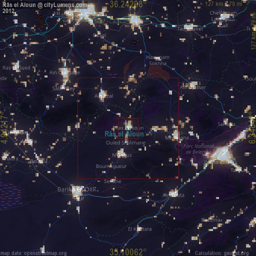
» Earth at Night: Flat Maps 2012, 2016