Aïn Oussera night lights from space
Night Light of Aïn Oussera (Djelfa) from space (Algeria) Src. Average luminocity for 10x10km area is 31.4707% and for 50x50km: 1.9122%.
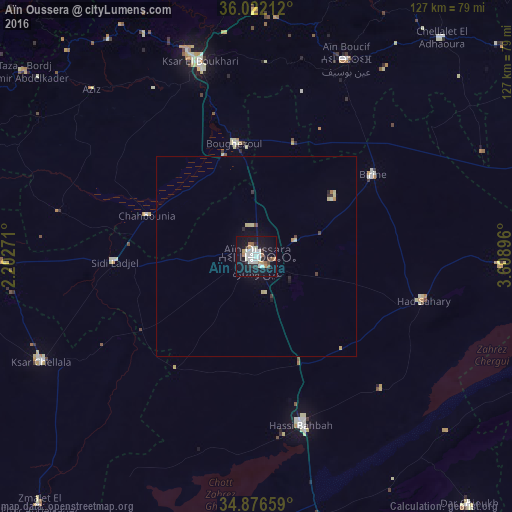
Analysis of Aïn Oussera night lights 2016
Square area 10x10 km:
 7.69%
7.69%90-99
7.69%80-89
1.1%70-79
3.66%60-69
2.75%50-59
2.56%40-49
1.65%30-39
2.01%20-29
3.85%10-19
42.67%0-9
24.36%Square area 50x50 km:
0.3%90-99
0.34%80-89
0.28%70-79
0.21%60-69
0.15%50-59
0.1%40-49
0.17%30-39
0.18%20-29
0.25%10-19
1.84%0-9
96.17%Clear (daylight) street map image can be seen on geolist.org.
Map coordinates:
36° 1' 19.6" North, 2° 12' 9.8" East
35° 27' 5" North, 2° 54' 21" East
34° 52' 35.7" North, 3° 36' 32.3" East
Some cities around Aïn Oussera sort by population:
• Médéa
91.4 km =56.8 mi,  351°
351°
• Berrouaghia
76 km =47.2 mi,  0°
0°
• Ksar el Boukhari
50.7 km =31.5 mi,  343°
343°
• Ksar Chellala
59.5 km =37 mi,  243°
243°
• Dar Chioukh
81.1 km =50.4 mi,  139°
139°
• Birine
35.4 km =22 mi,  54°
54°
• ‘Aïn el Hadjel
91.5 km =56.9 mi,  74°
74°
• ’Aïn Boucif
54 km =33.6 mi,  25°
25°
2507972 (p: 118,687)
Sources (retrieved 2019-11-25):
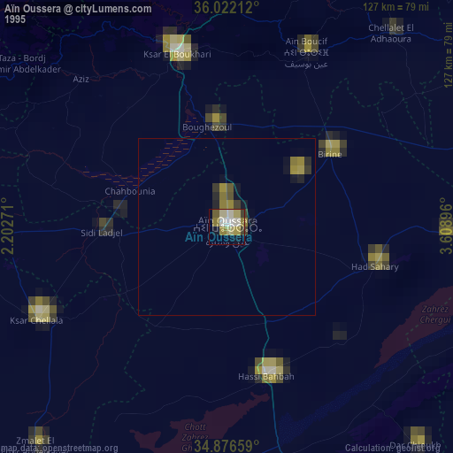
» NASA, Earths city lights 1995
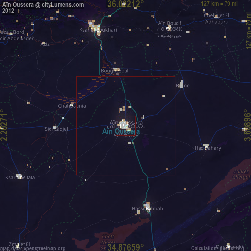
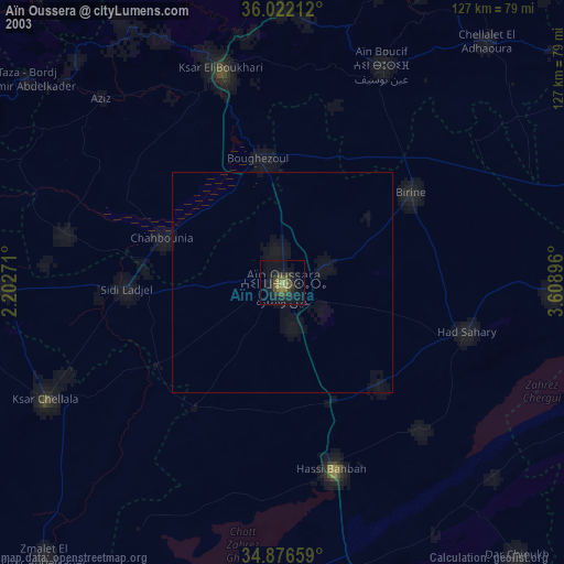
» NASA city lights 2003
» Earth at Night: Flat Maps 2012, 2016