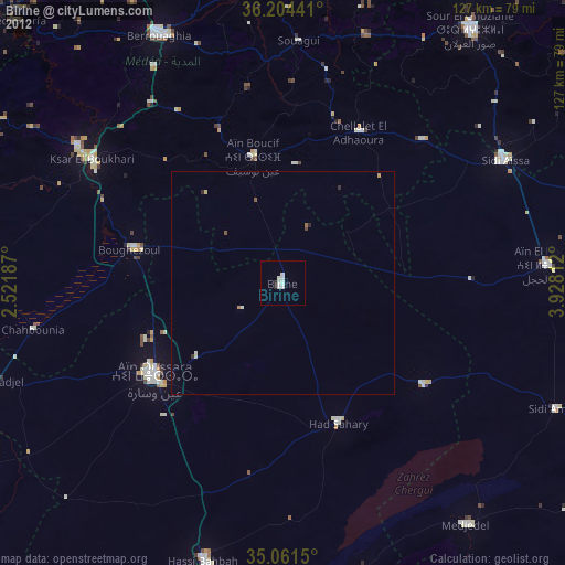
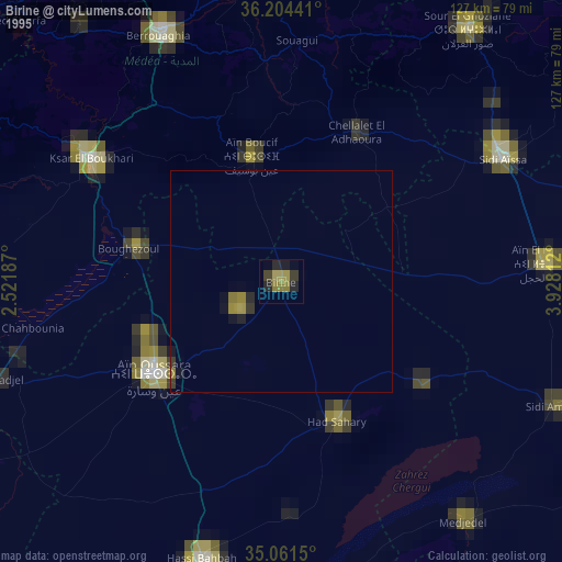
Birine night lights from space
Night Light of Birine (Djelfa) from space (Algeria) Src. Average luminocity for 10x10km area is 6.0559% and for 50x50km: 0.7561%.
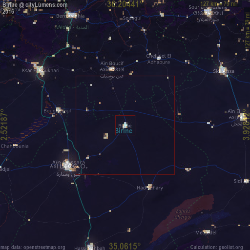

Analysis of Birine night lights 2016
Square area 10x10 km:
 2.1%
2.1%90-99
1.4%80-89
0%70-79
0.7%60-69
0.7%50-59
0%40-49
0%30-39
1.4%20-29
0%10-19
0%0-9
93.71%Square area 50x50 km:
0.08%90-99
0.13%80-89
0.13%70-79
0.12%60-69
0.1%50-59
0.04%40-49
0.11%30-39
0.13%20-29
0.07%10-19
0.06%0-9
99.04%Clear (daylight) street map image can be seen on geolist.org.
Map coordinates:
36° 12' 15.9" North, 2° 31' 18.7" East
35° 38' 6" North, 3° 13' 30" East
35° 3' 41.4" North, 3° 55' 41.2" East
Some cities around Birine sort by population:
• Médéa
81.8 km =50.8 mi,  328°
328°
• Aïn Oussera
35.4 km =22 mi,  234°
234°
• Berrouaghia
62.4 km =38.8 mi, 333°
• Ksar el Boukhari
51.4 km =31.9 mi,  303°
303°
• Sidi Aïssa
56.7 km =35.2 mi,  60°
60°
• Sour el Ghozlane
70.8 km =44 mi,  36°
36°
• ‘Aïn el Hadjel
59.4 km =36.9 mi,  86°
86°
• ’Aïn Boucif
29.1 km =18.1 mi,  348°
348°
2503852 (p: 51,209)
Sources (retrieved 2019-11-25):
» NASA, Earths city lights 1995
» NASA city lights 2003
» Earth at Night: Flat Maps 2012, 2016