Sidi Khaled night lights from space
Night Light of Sidi Khaled (Biskra) from space (Algeria) Src. Average luminocity for 10x10km area is 25.5018% and for 50x50km: 3.008%.
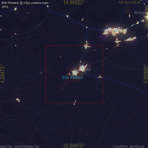

Analysis of Sidi Khaled night lights 2016
Square area 10x10 km:
 3.85%
3.85%90-99
3.48%80-89
6.23%70-79
0.37%60-69
2.38%50-59
2.75%40-49
2.38%30-39
5.13%20-29
4.95%10-19
26.19%0-9
42.31%Square area 50x50 km:
0.4%90-99
0.42%80-89
0.63%70-79
0.23%60-69
0.23%50-59
0.3%40-49
0.27%30-39
0.44%20-29
0.49%10-19
2.99%0-9
93.61%Clear (daylight) street map image can be seen on geolist.org.
Map coordinates:
34° 57' 54.8" North, 4° 17' 5" East
34° 23' 13.2" North, 4° 59' 16.3" East
33° 48' 17.1" North, 5° 41' 27.5" East
Some cities around Sidi Khaled sort by population:
• Biskra
85.1 km =52.9 mi,  52°
52°
• Barika
116.6 km =72.5 mi,  17°
17°
• Aïn Touta
138 km =85.7 mi,  37°
37°
• Tolga
51.7 km =32.1 mi, 43°
• Djamaa
132.6 km =82.4 mi,  135°
135°
• ’Aïn el Melh
90.8 km =56.4 mi,  303°
303°
• Oumache
72 km =44.7 mi,  61°
61°
• Boumagueur
134.6 km =83.6 mi, 22°
2480368 (p: 64,476)
Sources (retrieved 2019-11-25):
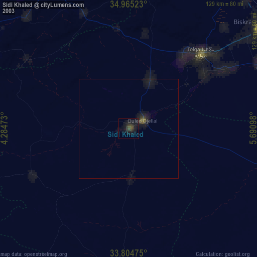
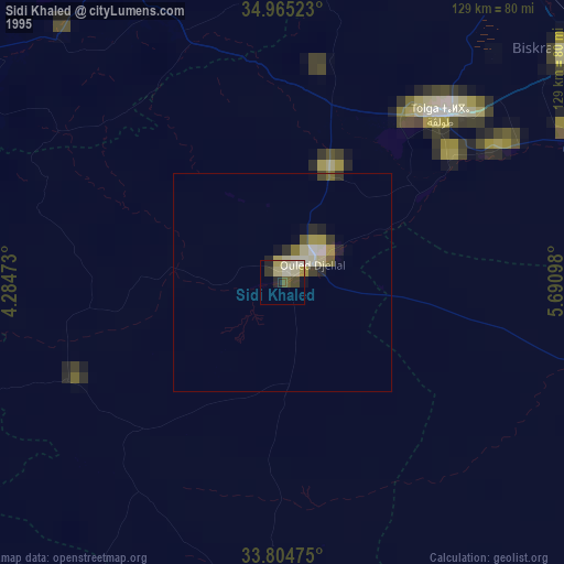
» NASA, Earths city lights 1995
» NASA city lights 2003
» Earth at Night: Flat Maps 2012, 2016