Tolga night lights from space
Night Light of Tolga (Biskra) from space (Algeria) Src. Average luminocity for 10x10km area is 50.641% and for 50x50km: 6.5879%.
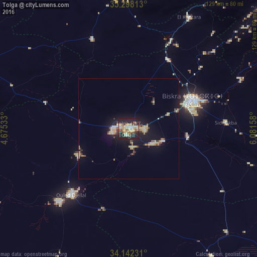
Analysis of Tolga night lights 2016
Square area 10x10 km:
 5.49%
5.49%90-99
8.79%80-89
15.02%70-79
4.95%60-69
7.51%50-59
4.03%40-49
3.85%30-39
8.79%20-29
26.19%10-19
15.38%0-9
0%Square area 50x50 km:
0.47%90-99
0.86%80-89
1.79%70-79
0.59%60-69
0.64%50-59
0.58%40-49
0.58%30-39
1.14%20-29
1.66%10-19
6.18%0-9
85.51%Clear (daylight) street map image can be seen on geolist.org.
Map coordinates:
35° 17' 53.3" North, 4° 40' 31.2" East
34° 43' 20.1" North, 5° 22' 42.4" East
34° 8' 32.3" North, 6° 4' 53.7" East
Some cities around Tolga sort by population:
• Biskra
35 km =21.7 mi,  65°
65°
• Barika
74.1 km =46 mi,  359°
359°
• Aïn Touta
86.9 km =54 mi,  33°
33°
• Sidi Khaled
51.7 km =32.1 mi,  223°
223°
• Sidi Okba
47.6 km =29.6 mi,  86°
86°
• Zeribet el Oued
103.6 km =64.4 mi, 92°
• Oumache
27.8 km =17.3 mi,  96°
96°
• Boumagueur
88.5 km =55 mi,  10°
10°
2475612 (p: 68,246)
Sources (retrieved 2019-11-25):
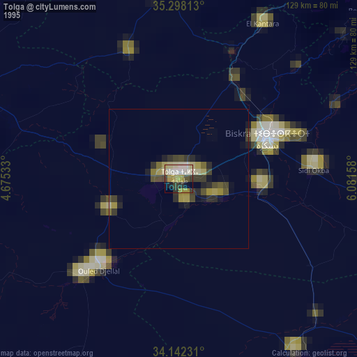
» NASA, Earths city lights 1995
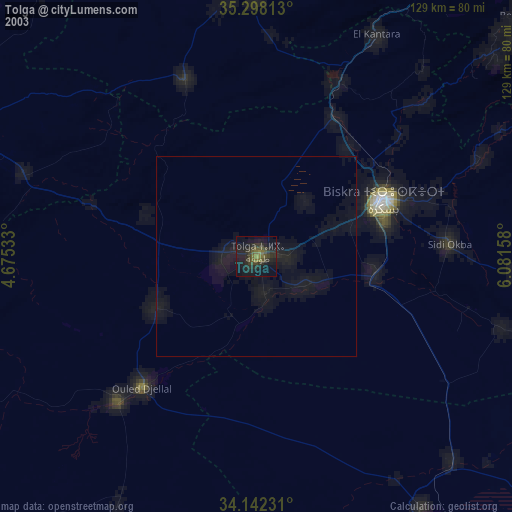
» NASA city lights 2003
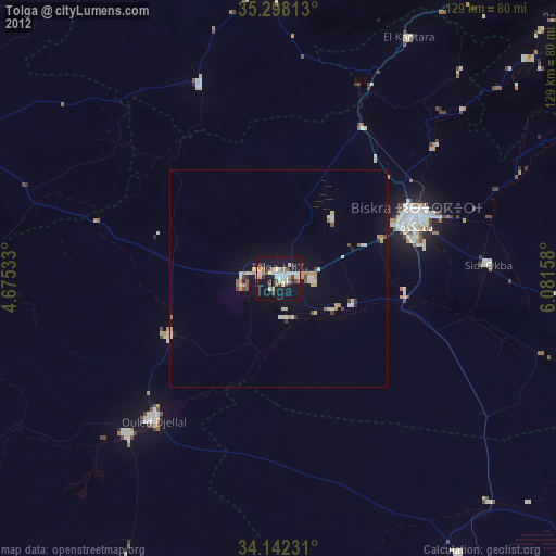
» Earth at Night: Flat Maps 2012, 2016