Sidi Aïssa night lights from space
Night Light of Sidi Aïssa (M'Sila) from space (Algeria) Src. Average luminocity for 10x10km area is 20.5476% and for 50x50km: 2.8433%.
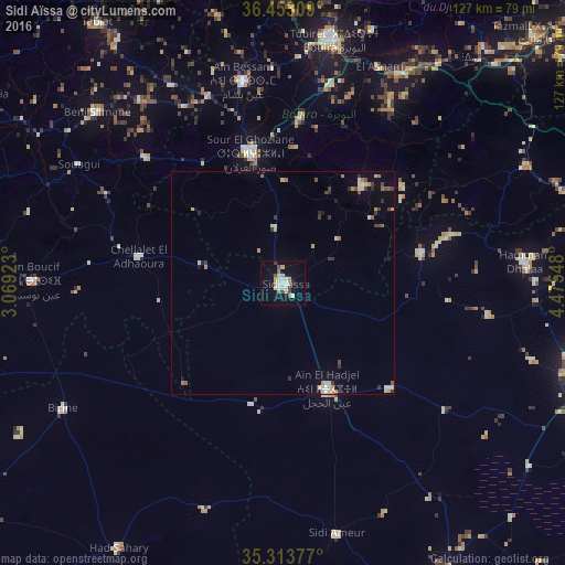

Analysis of Sidi Aïssa night lights 2016
Square area 10x10 km:
 2.93%
2.93%90-99
4.03%80-89
3.3%70-79
2.93%60-69
0.92%50-59
1.28%40-49
3.66%30-39
1.65%20-29
0.55%10-19
13.55%0-9
65.2%Square area 50x50 km:
0.27%90-99
0.47%80-89
0.36%70-79
0.48%60-69
0.28%50-59
0.21%40-49
0.47%30-39
0.56%20-29
0.22%10-19
0.82%0-9
95.86%Clear (daylight) street map image can be seen on geolist.org.
Map coordinates:
36° 27' 11.1" North, 3° 4' 9.2" East
35° 53' 7.7" North, 3° 46' 20.5" East
35° 18' 49.6" North, 4° 28' 31.7" East
Some cities around Sidi Aïssa sort by population:
• Bouïra
55.6 km =34.5 mi,  12°
12°
• Birine
56.7 km =35.2 mi,  240°
240°
• Sour el Ghozlane
30.1 km =18.7 mi,  345°
345°
• ‘Aïn el Hadjel
25.9 km =16.1 mi,  157°
157°
• Aïn Bessem
46.2 km =28.7 mi, 348°
• Melouza
38.8 km =24.1 mi,  74°
74°
• Mansourah
65.1 km =40.5 mi, 69°
• ’Aïn Boucif
55.3 km =34.4 mi,  270°
270°
2481246 (p: 69,740)
Sources (retrieved 2019-11-25):
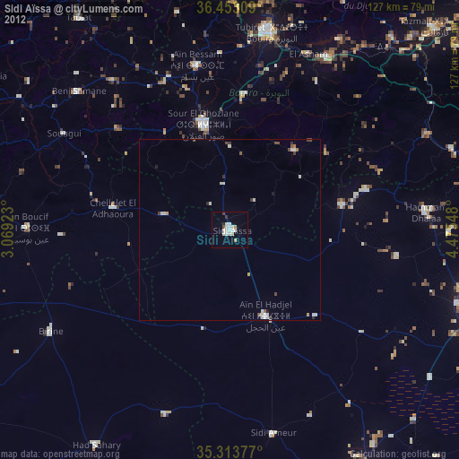
» NASA, Earths city lights 1995
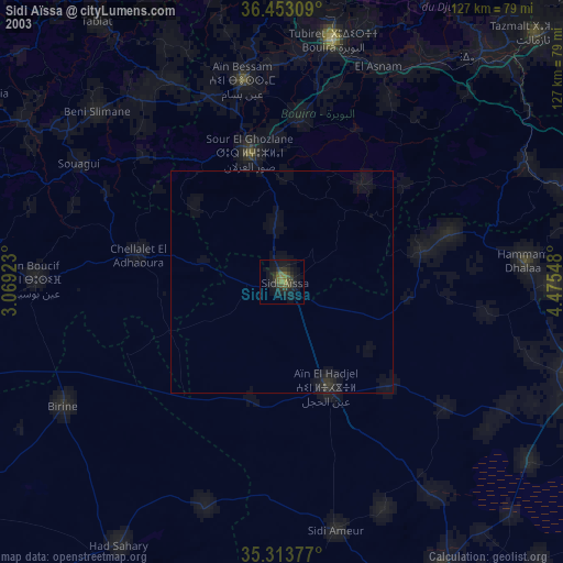
» NASA city lights 2003
» Earth at Night: Flat Maps 2012, 2016