Adrar night lights from space
Night Light of Adrar from space (Algeria) Src. Average luminocity for 10x10km area is 45.1061% and for 50x50km: 2.6141%.
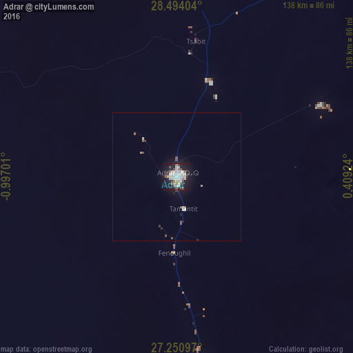
Analysis of Adrar night lights 2016
Square area 10x10 km:
 13.07%
90-99
14.02%80-89
1.89%70-79
1.14%60-69
3.22%50-59
5.11%40-49
4.73%30-39
2.65%20-29
8.33%10-19
41.48%0-9
4.36%Square area 50x50 km:
0.56%90-99
0.65%80-89
0.12%70-79
0.06%60-69
0.16%50-59
0.36%40-49
0.37%30-39
0.17%20-29
0.41%10-19
2.55%0-9
94.6%Clear (daylight) street map image can be seen on geolist.org.
Map coordinates:
28° 29' 38.5" North, 0° 59' 49.2" West
27° 52' 27.4" North, 0° 17' 38" West
27° 15' 3.5" North, 0° 24' 33.3" East
Some cities around Adrar sort by population:
• Béchar
455.6 km =283.1 mi,  335°
335°
• Timimoun
162.8 km =101.2 mi,  18°
18°
• I-n-Salah
281.9 km =175.2 mi,  105°
105°
• Reggane
136.8 km =85 mi,  160°
160°
• Bouarfa, MA
542.3 km =337 mi, 342°
• Aoulef
169.3 km =105.2 mi,  126°
126°
• Reçani, MA
539.5 km =335.2 mi,  314°
314°
• Figuig (Centre), MA
479.4 km =297.9 mi,  349°
349°
2508813 (p: 43,903)
Sources (retrieved 2019-11-25):
» Earth at Night: Flat Maps 2012, 2016