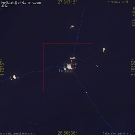
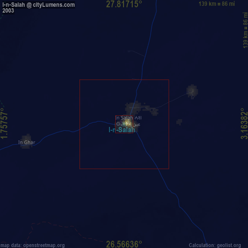
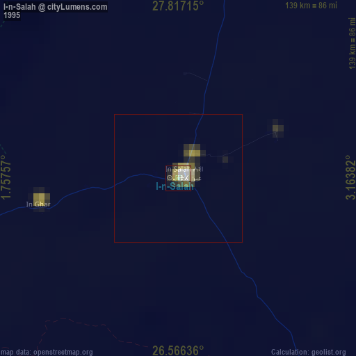
I-n-Salah night lights from space
Night Light of I-n-Salah (Tamanrasset) from space (Algeria) Src. Average luminocity for 10x10km area is 21.1761% and for 50x50km: 1.2677%.
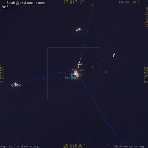
Analysis of I-n-Salah night lights 2016
Square area 10x10 km:
 5.68%
5.68%90-99
4.17%80-89
1.52%70-79
0.95%60-69
2.27%50-59
2.46%40-49
1.52%30-39
1.14%20-29
1.52%10-19
18.75%0-9
60.04%Square area 50x50 km:
0.23%90-99
0.17%80-89
0.11%70-79
0.08%60-69
0.11%50-59
0.22%40-49
0.14%30-39
0.12%20-29
0.16%10-19
0.87%0-9
97.79%Clear (daylight) street map image can be seen on geolist.org.
Map coordinates:
27° 49' 1.7" North, 1° 45' 27.3" East
27° 11' 36.6" North, 2° 27' 38.5" East
26° 33' 58.9" North, 3° 9' 49.8" East
Some cities around I-n-Salah sort by population:
• Ouargla
596.9 km =370.9 mi,  27°
27°
• Rouissat
595.6 km =370.1 mi, 27°
• Tamanrasset
579.2 km =359.9 mi,  147°
147°
• Metlili Chaamba
575.3 km =357.5 mi,  11°
11°
• Timimoun
317.3 km =197.2 mi,  316°
316°
• Adrar
281.9 km =175.2 mi,  285°
285°
• Reggane
233 km =144.8 mi,  256°
256°
• Aoulef
138.7 km =86.2 mi, 259°
2493222 (p: 49,223)
Sources (retrieved 2019-11-25):
» NASA, Earths city lights 1995
» NASA city lights 2003
» Earth at Night: Flat Maps 2012, 2016