Figuig (Centre) night lights from space
Night Light of Figuig (Centre) from space (Morocco) Src. Average luminocity for 10x10km area is 15.8374% and for 50x50km: 1.0686%.
Analysis of Figuig (Centre) night lights 2016
Square area 10x10 km:
 0.52%
0.52%90-99
1.22%80-89
6.64%70-79
0.7%60-69
1.57%50-59
1.92%40-49
0.17%30-39
1.92%20-29
2.1%10-19
12.76%0-9
70.45%Square area 50x50 km:
0.09%90-99
0.07%80-89
0.38%70-79
0.09%60-69
0.07%50-59
0.08%40-49
0.04%30-39
0.25%20-29
0.09%10-19
0.59%0-9
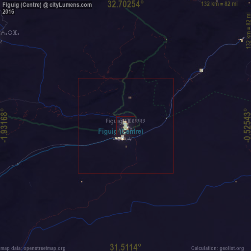
98.25%Clear (daylight) street map image can be seen on geolist.org.
Map coordinates:
32° 42' 9.1" North, 1° 55' 54" West
32° 6' 32.1" North, 1° 13' 42.8" West
31° 30' 41" North, 0° 31' 31.5" West
Some cities around Figuig (Centre) sort by population:
• Béchar, DZ
108.2 km =67.2 mi,  239°
239°
• Aïn Sefra, DZ
93.5 km =58.1 mi,  40°
40°
• Jerada
259.6 km =161.3 mi,  340°
340°
• El Abiodh Sidi Cheikh, DZ
188.1 km =116.9 mi,  62°
62°
• Bouarfa
83.6 km =51.9 mi,  304°
304°
• Brezina, DZ
257.8 km =160.2 mi, 64°
• Aïn Beni Mathar
224.2 km =139.3 mi, 340°
• Naama, DZ
154.4 km =95.9 mi,  33°
33°
2548851 (p: 12,516)
Sources (retrieved 2019-11-25):
» Earth at Night: Flat Maps 2012, 2016