Aoulef night lights from space
Night Light of Aoulef (Adrar) from space (Algeria) Src. Average luminocity for 10x10km area is 7.7063% and for 50x50km: 0.527%.
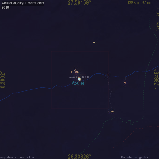
Analysis of Aoulef night lights 2016
Square area 10x10 km:
 0.99%
0.99%90-99
1.19%80-89
1.19%70-79
0.79%60-69
1.39%50-59
1.59%40-49
0%30-39
0.79%20-29
0%10-19
0%0-9
92.06%Square area 50x50 km:
0.04%90-99
0.05%80-89
0.05%70-79
0.09%60-69
0.08%50-59
0.18%40-49
0.07%30-39
0.08%20-29
0.03%10-19
0%0-9
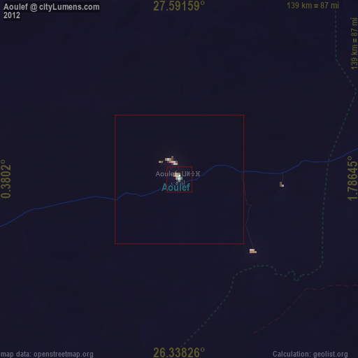
99.33%Clear (daylight) street map image can be seen on geolist.org.
Map coordinates:
27° 35' 29.7" North, 0° 22' 48.7" East
26° 58' 0" North, 1° 4' 60" East
26° 20' 17.7" North, 1° 47' 11.2" East
Some cities around Aoulef sort by population:
• Béchar
608 km =377.8 mi,  328°
328°
• Tamanrasset
645.4 km =401 mi,  136°
136°
• Metlili Chaamba
638.7 km =396.9 mi,  22°
22°
• Timimoun
268.8 km =167 mi,  341°
341°
• I-n-Salah
138.7 km =86.2 mi,  79°
79°
• Adrar
169.3 km =105.2 mi,  306°
306°
• Reggane
94.7 km =58.8 mi,  252°
252°
• Figuig (Centre), MA
613.9 km =381.5 mi, 338°
2506795 (p: 24,812)
Sources (retrieved 2019-11-25):
» Earth at Night: Flat Maps 2012, 2016