Timimoun night lights from space
Night Light of Timimoun (Adrar) from space (Algeria) Src. Average luminocity for 10x10km area is 21.4621% and for 50x50km: 1.5259%.
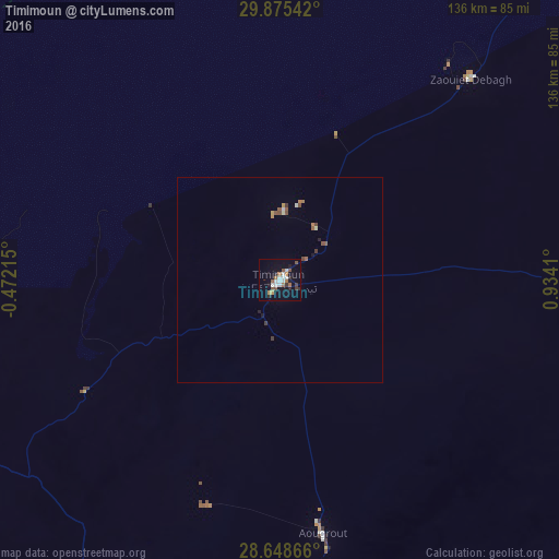
Analysis of Timimoun night lights 2016
Square area 10x10 km:
 4.17%
4.17%90-99
4.17%80-89
0%70-79
1.33%60-69
3.98%50-59
4.17%40-49
1.14%30-39
2.27%20-29
3.6%10-19
14.77%0-9
60.42%Square area 50x50 km:
0.19%90-99
0.2%80-89
0.05%70-79
0.12%60-69
0.27%50-59
0.37%40-49
0.2%30-39
0.22%20-29
0.19%10-19
0.66%0-9
97.53%Clear (daylight) street map image can be seen on geolist.org.
Map coordinates:
29° 52' 31.5" North, 0° 28' 19.7" West
29° 15' 50" North, 0° 13' 51.5" East
28° 38' 55.2" North, 0° 56' 2.8" East
Some cities around Timimoun sort by population:
• Béchar
351.4 km =218.3 mi,  318°
318°
• Aïn Sefra
395.3 km =245.6 mi,  348°
348°
• I-n-Salah
317.3 km =197.2 mi,  136°
136°
• Adrar
162.8 km =101.2 mi,  198°
198°
• El Abiodh Sidi Cheikh
404.7 km =251.5 mi,  4°
4°
• Reggane
283.4 km =176.1 mi,  181°
181°
• Aoulef
268.8 km =167 mi,  161°
161°
• Figuig (Centre), MA
345.7 km =214.8 mi,  336°
336°
2476403 (p: 49,237)
Sources (retrieved 2019-11-25):
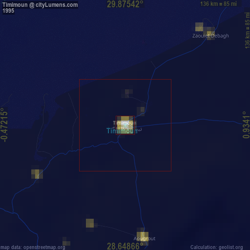
» NASA, Earths city lights 1995
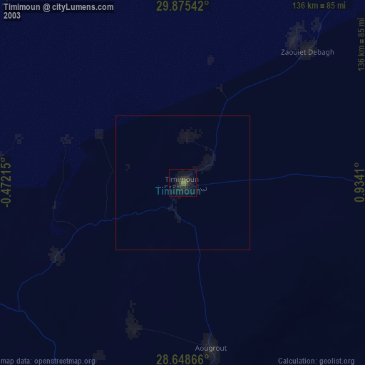
» NASA city lights 2003
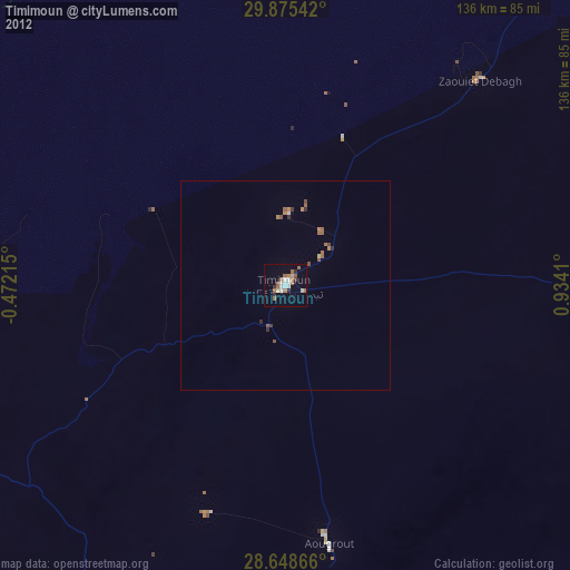
» Earth at Night: Flat Maps 2012, 2016