Bouarfa night lights from space
Night Light of Bouarfa (Oriental) from space (Morocco) Src. Average luminocity for 10x10km area is 11.8095% and for 50x50km: 0.4797%.
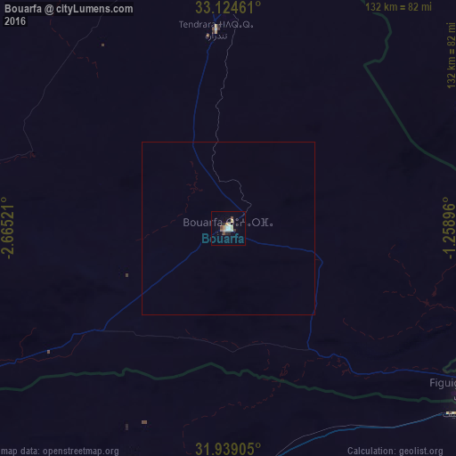
Analysis of Bouarfa night lights 2016
Square area 10x10 km:
 1.65%
1.65%90-99
1.28%80-89
2.93%70-79
1.65%60-69
0.55%50-59
1.1%40-49
1.83%30-39
0.73%20-29
2.01%10-19
0.92%0-9
85.35%Square area 50x50 km:
0.06%90-99
0.05%80-89
0.11%70-79
0.06%60-69
0.02%50-59
0.04%40-49
0.07%30-39
0.03%20-29
0.08%10-19
0.04%0-9
99.43%Clear (daylight) street map image can be seen on geolist.org.
Map coordinates:
33° 7' 28.6" North, 2° 39' 54.8" West
32° 32' 1.6" North, 1° 57' 43.5" West
31° 56' 20.6" North, 1° 15' 32.3" West
Some cities around Bouarfa sort by population:
• Béchar, DZ
104.8 km =65.1 mi,  193°
193°
• Taourirt
225.7 km =140.2 mi,  337°
337°
• Aïn Sefra, DZ
131.3 km =81.6 mi,  79°
79°
• Guercif
228.2 km =141.8 mi,  325°
325°
• Jerada
198.3 km =123.2 mi,  354°
354°
• Aïn Beni Mathar
164.2 km =102 mi,  357°
357°
• Figuig (Centre)
83.6 km =51.9 mi,  124°
124°
• Naama, DZ
173.9 km =108.1 mi,  62°
62°
2555157 (p: 28,846)
Sources (retrieved 2019-11-25):
» Earth at Night: Flat Maps 2012, 2016