Reçani night lights from space
Night Light of Reçani (Drâa-Tafilalet) from space (Morocco) Src. Average luminocity for 10x10km area is 5.1329% and for 50x50km: 0.8771%.

Analysis of Reçani night lights 2016
Square area 10x10 km:
 0.17%
0.17%90-99
0.52%80-89
1.22%70-79
1.57%60-69
0%50-59
1.57%40-49
1.22%30-39
0%20-29
0%10-19
0%0-9
93.71%Square area 50x50 km:
0.04%90-99
0.04%80-89
0.26%70-79
0.22%60-69
0.01%50-59
0.15%40-49
0.12%30-39
0.13%20-29
0.16%10-19
0.01%0-9
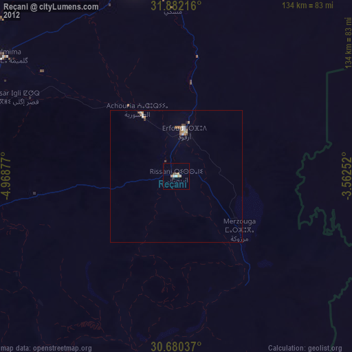
98.85%Clear (daylight) street map image can be seen on geolist.org.
Map coordinates:
31° 52' 55.8" North, 4° 58' 7.6" West
31° 16' 59.4" North, 4° 15' 56.3" West
30° 40' 49.3" North, 3° 33' 45.1" West
Some cities around Reçani sort by population:
• Béchar, DZ
197.9 km =123 mi,  79°
79°
• Errachidia
73.7 km =45.8 mi,  348°
348°
• Midelt
162.3 km =100.8 mi,  343°
343°
• Tinghir
123 km =76.4 mi,  282°
282°
• Zagora
183.7 km =114.1 mi,  234°
234°
• Arfoud
17.2 km =10.7 mi,  10°
10°
• Kelaat Mgouna
177.5 km =110.3 mi,  268°
268°
• Ifrane
203 km =126.1 mi, 283°
2538027 (p: 20,469)
Sources (retrieved 2019-11-25):
» Earth at Night: Flat Maps 2012, 2016