Willebadessen night lights from space
Night Light of Willebadessen (North Rhine-Westphalia) from space (Germany) Src. Average luminocity for 10x10km area is 0% and for 50x50km: 3.014%.
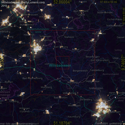
Analysis of Willebadessen night lights 2016
Square area 10x10 km:
 0%
0%90-99
0%80-89
0%70-79
0%60-69
0%50-59
0%40-49
0%30-39
0%20-29
0%10-19
0%0-9
100%Square area 50x50 km:
0.38%90-99
0.54%80-89
0.32%70-79
0.41%60-69
0.38%50-59
0.43%40-49
0.36%30-39
0.33%20-29
0.86%10-19
2.32%0-9
93.67%Clear (daylight) street map image can be seen on geolist.org.
Map coordinates:
52° 3' 36.1" North, 8° 20' 1.8" East
51° 37' 32.3" North, 9° 2' 13" East
51° 11' 13.3" North, 9° 44' 24.3" East
Some cities around Willebadessen sort by population:
• Paderborn
22.1 km =13.7 mi,  298°
298°
• Warburg
16.9 km =10.5 mi,  153°
153°
• Bad Driburg
12 km =7.5 mi,  354°
354°
• Brakel
14.5 km =9 mi,  45°
45°
• Lichtenau
9.7 km =6 mi,  264°
264°
• Altenbeken
16.8 km =10.4 mi,  337°
337°
• Borgentreich
15.4 km =9.6 mi,  113°
113°
• Nieheim
20.6 km =12.8 mi,  14°
14°
2808619 (p: 8,821)
Sources (retrieved 2019-11-25):
» Earth at Night: Flat Maps 2012, 2016