Paderborn night lights from space
Night Light of Paderborn (North Rhine-Westphalia) from space (Germany) Src. Average luminocity for 10x10km area is 46.2591% and for 50x50km: 4.9793%.
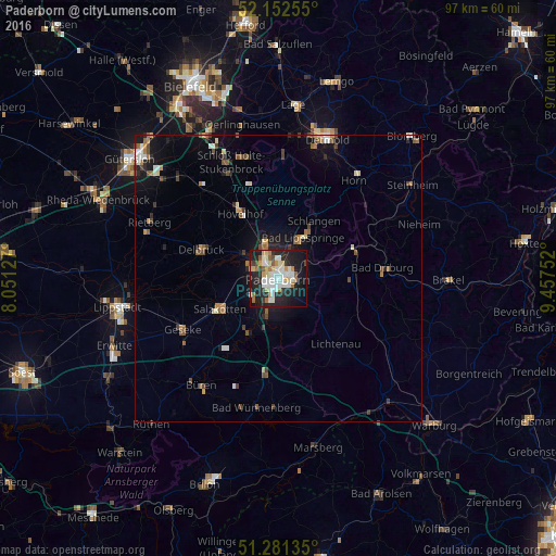
Analysis of Paderborn night lights 2016
Square area 10x10 km:
 9.8%
9.8%90-99
13.17%80-89
5.46%70-79
4.76%60-69
4.62%50-59
3.64%40-49
2.52%30-39
2.66%20-29
16.39%10-19
28.15%0-9
8.82%Square area 50x50 km:
0.61%90-99
0.79%80-89
0.49%70-79
0.52%60-69
0.68%50-59
0.68%40-49
0.74%30-39
0.54%20-29
1.12%10-19
3.54%0-9
90.29%Clear (daylight) street map image can be seen on geolist.org.
Map coordinates:
52° 9' 9.2" North, 8° 3' 4.6" East
51° 43' 8.6" North, 8° 45' 15.8" East
51° 16' 52.9" North, 9° 27' 27.1" East
Some cities around Paderborn sort by population:
• Delbrück
14.2 km =8.8 mi,  291°
291°
• Salzkotten
11.8 km =7.3 mi,  243°
243°
• Bad Driburg
18.3 km =11.4 mi,  85°
85°
• Hövelhof
13 km =8.1 mi,  326°
326°
• Bad Lippspringe
8.3 km =5.2 mi,  31°
31°
• Lichtenau
15 km =9.3 mi,  139°
139°
• Altenbeken
13.9 km =8.6 mi,  68°
68°
• Schlangen
11.9 km =7.4 mi, 32°
2855745 (p: 142,161)
Sources (retrieved 2019-11-25):
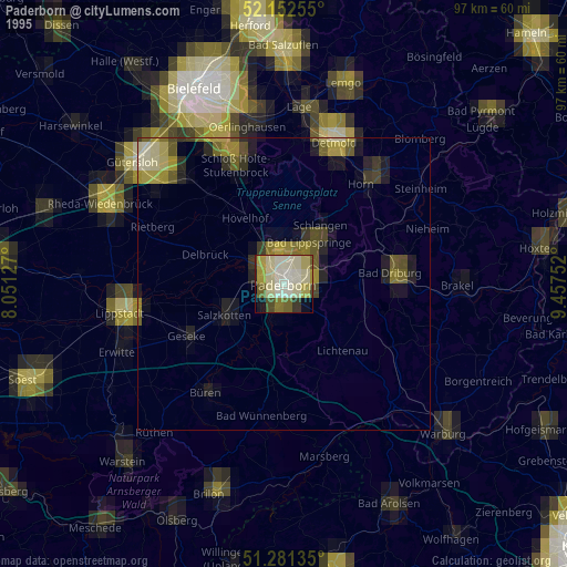
» NASA, Earths city lights 1995
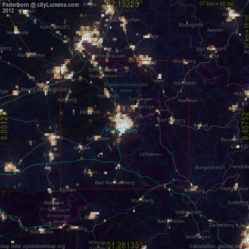
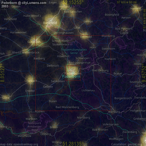
» NASA city lights 2003
» Earth at Night: Flat Maps 2012, 2016