Warburg night lights from space
Night Light of Warburg (North Rhine-Westphalia) from space (Germany) Src. Average luminocity for 10x10km area is 2.3369% and for 50x50km: 2.9614%.
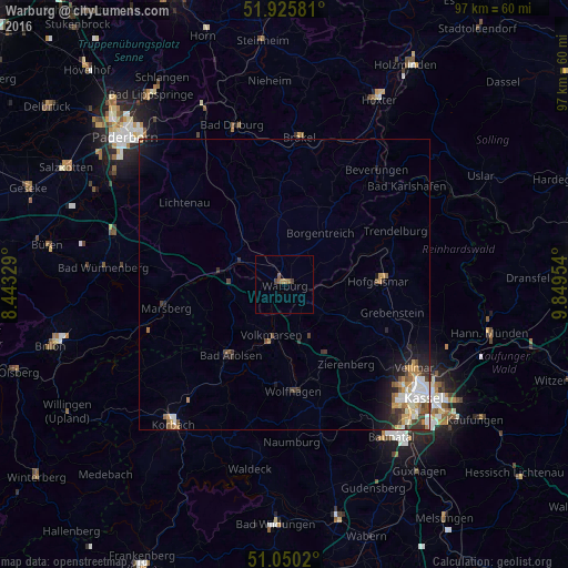
Analysis of Warburg night lights 2016
Square area 10x10 km:
 0%
0%90-99
0%80-89
0%70-79
0.53%60-69
0.67%50-59
1.47%40-49
0.53%30-39
0.53%20-29
0%10-19
0%0-9
96.26%Square area 50x50 km:
0.46%90-99
0.63%80-89
0.19%70-79
0.44%60-69
0.42%50-59
0.42%40-49
0.43%30-39
0.48%20-29
0.7%10-19
1.41%0-9
94.43%Clear (daylight) street map image can be seen on geolist.org.
Map coordinates:
51° 55' 32.9" North, 8° 26' 35.8" East
51° 29' 24.4" North, 9° 8' 47.1" East
51° 3' 0.7" North, 9° 50' 58.3" East
Some cities around Warburg sort by population:
• Bad Arolsen
15.3 km =9.5 mi,  216°
216°
• Hofgeismar
16.5 km =10.3 mi,  87°
87°
• Wolfhagen
18.3 km =11.4 mi,  174°
174°
• Borgentreich
11 km =6.8 mi,  36°
36°
• Willebadessen
16.9 km =10.5 mi,  333°
333°
• Volkmarsen
9.2 km =5.7 mi,  192°
192°
• Zierenberg
17.2 km =10.7 mi,  141°
141°
• Grebenstein
19.1 km =11.9 mi,  104°
104°
2814153 (p: 24,317)
Sources (retrieved 2019-11-25):
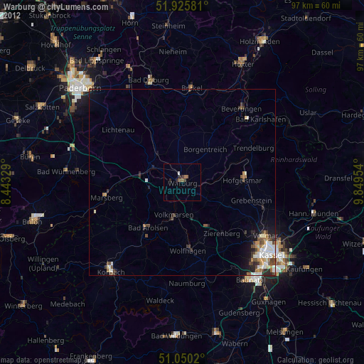
» Earth at Night: Flat Maps 2012, 2016