Nieheim night lights from space
Night Light of Nieheim (North Rhine-Westphalia) from space (Germany) Src. Average luminocity for 10x10km area is 0.0238% and for 50x50km: 2.6316%.
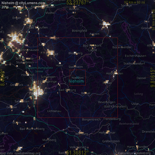
Analysis of Nieheim night lights 2016
Square area 10x10 km:
 0%
0%90-99
0%80-89
0%70-79
0%60-69
0%50-59
0%40-49
0%30-39
0%20-29
0%10-19
0%0-9
100%Square area 50x50 km:
0.3%90-99
0.37%80-89
0.35%70-79
0.32%60-69
0.42%50-59
0.26%40-49
0.44%30-39
0.19%20-29
0.55%10-19
1.63%0-9
95.17%Clear (daylight) street map image can be seen on geolist.org.
Map coordinates:
52° 14' 15.6" North, 8° 24' 35.6" East
51° 48' 18" North, 9° 6' 46.9" East
51° 22' 5.2" North, 9° 48' 58.1" East
Some cities around Nieheim sort by population:
• Bad Driburg
10.3 km =6.4 mi,  218°
218°
• Brakel
10.9 km =6.8 mi,  152°
152°
• Blomberg
15.5 km =9.6 mi,  354°
354°
• Steinheim
7.5 km =4.7 mi, 348°
• Altenbeken
12.6 km =7.8 mi,  249°
249°
• Schieder-Schwalenberg
9.8 km =6.1 mi,  35°
35°
• Schlangen
18.4 km =11.4 mi,  271°
271°
• Horn
13.7 km =8.5 mi,  302°
302°
2862675 (p: 6,961)
Sources (retrieved 2019-11-25):
» Earth at Night: Flat Maps 2012, 2016