Wilkau-Haßlau night lights from space
Night Light of Wilkau-Haßlau (Saxony) from space (Germany) Src. Average luminocity for 10x10km area is 22.0388% and for 50x50km: 7.3151%.
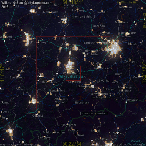
Analysis of Wilkau-Haßlau night lights 2016
Square area 10x10 km:
 2.81%
2.81%90-99
4.14%80-89
2.67%70-79
5.08%60-69
1.87%50-59
2.81%40-49
2.01%30-39
1.34%20-29
3.88%10-19
18.85%0-9
54.55%Square area 50x50 km:
0.74%90-99
0.96%80-89
0.56%70-79
1%60-69
1.07%50-59
1.35%40-49
0.8%30-39
0.89%20-29
1.31%10-19
5.33%0-9
85.99%Clear (daylight) street map image can be seen on geolist.org.
Map coordinates:
51° 7' 6.6" North, 11° 48' 42.1" East
50° 40' 30.1" North, 12° 30' 53.4" East
50° 13' 38.4" North, 13° 13' 4.6" East
Some cities around Wilkau-Haßlau sort by population:
• Zwickau
6.1 km =3.8 mi,  342°
342°
• Werdau
11.9 km =7.4 mi,  304°
304°
• Mülsen
9.1 km =5.7 mi,  23°
23°
• Kirchberg
5.9 km =3.7 mi,  173°
173°
• Reinsdorf
3.8 km =2.4 mi,  48°
48°
• Lichtentanne
6.6 km =4.1 mi,  287°
287°
• Fraureuth
11.9 km =7.4 mi,  283°
283°
• Hartenstein
11 km =6.8 mi,  97°
97°
2808644 (p: 11,850)
Sources (retrieved 2019-11-25):
» Earth at Night: Flat Maps 2012, 2016