Lichtentanne night lights from space
Night Light of Lichtentanne (Saxony) from space (Germany) Src. Average luminocity for 10x10km area is 28.8877% and for 50x50km: 7.4617%.
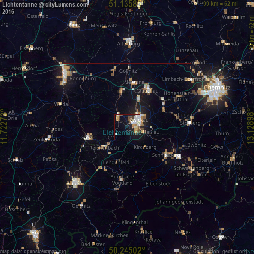
Analysis of Lichtentanne night lights 2016
Square area 10x10 km:
 5.35%
5.35%90-99
7.09%80-89
2.94%70-79
5.08%60-69
2.01%50-59
3.61%40-49
3.21%30-39
1.87%20-29
2.54%10-19
19.79%0-9
46.52%Square area 50x50 km:
0.86%90-99
1.13%80-89
0.68%70-79
1.06%60-69
0.95%50-59
1.3%40-49
0.78%30-39
0.76%20-29
0.9%10-19
5.27%0-9
86.33%Clear (daylight) street map image can be seen on geolist.org.
Map coordinates:
51° 8' 9.1" North, 11° 43' 21.8" East
50° 41' 33.2" North, 12° 25' 33.1" East
50° 14' 42.1" North, 13° 7' 44.3" East
Some cities around Lichtentanne sort by population:
• Zwickau
5.9 km =3.7 mi,  48°
48°
• Werdau
6 km =3.7 mi,  323°
323°
• Reichenbach/Vogtland
11.6 km =7.2 mi,  228°
228°
• Mülsen
11.8 km =7.3 mi,  57°
57°
• Wilkau-Haßlau
6.6 km =4.1 mi,  107°
107°
• Kirchberg
10.5 km =6.5 mi,  138°
138°
• Reinsdorf
9.2 km =5.7 mi,  86°
86°
• Fraureuth
5.4 km =3.4 mi,  278°
278°
2878027 (p: 7,163)
Sources (retrieved 2019-11-25):
» Earth at Night: Flat Maps 2012, 2016