Kirchberg night lights from space
Night Light of Kirchberg (Saxony) from space (Germany) Src. Average luminocity for 10x10km area is 3.0053% and for 50x50km: 6.639%.
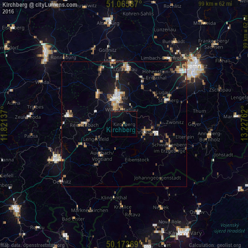
Analysis of Kirchberg night lights 2016
Square area 10x10 km:
 0%
0%90-99
0%80-89
0%70-79
0.53%60-69
0.53%50-59
0%40-49
0.27%30-39
0%20-29
0%10-19
7.49%0-9
91.18%Square area 50x50 km:
0.69%90-99
0.9%80-89
0.52%70-79
0.86%60-69
1.02%50-59
1.22%40-49
0.8%30-39
0.82%20-29
1.04%10-19
4.53%0-9
87.59%Clear (daylight) street map image can be seen on geolist.org.
Map coordinates:
51° 3' 57.1" North, 11° 49' 16.9" East
50° 37' 18.8" North, 12° 31' 28.2" East
50° 10' 25.3" North, 13° 13' 39.4" East
Some cities around Kirchberg sort by population:
• Zwickau
12 km =7.5 mi,  347°
347°
• Schneeberg
8.8 km =5.5 mi,  110°
110°
• Wilkau-Haßlau
5.9 km =3.7 mi, 353°
• Reinsdorf
8.7 km =5.4 mi,  14°
14°
• Lichtentanne
10.5 km =6.5 mi,  318°
318°
• Zschorlau
10.8 km =6.7 mi,  124°
124°
• Bad Schlema
10.7 km =6.6 mi,  101°
101°
• Hartenstein
11.2 km =7 mi,  66°
66°
2890659 (p: 9,400)
Sources (retrieved 2019-11-25):
» Earth at Night: Flat Maps 2012, 2016