Niederkassel night lights from space
Night Light of Niederkassel (North Rhine-Westphalia) from space (Germany) Src. Average luminocity for 10x10km area is 47.1947% and for 50x50km: 28.6887%.
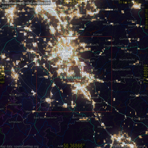
Analysis of Niederkassel night lights 2016
Square area 10x10 km:
 7.98%
7.98%90-99
7%80-89
3.64%70-79
1.68%60-69
5.74%50-59
7.98%40-49
11.2%30-39
16.25%20-29
37.39%10-19
1.12%0-9
0%Square area 50x50 km:
5.41%90-99
5.97%80-89
2.85%70-79
2.73%60-69
4.12%50-59
3.74%40-49
3.79%30-39
5.33%20-29
7.5%10-19
13.15%0-9
45.41%Clear (daylight) street map image can be seen on geolist.org.
Map coordinates:
51° 15' 25.8" North, 6° 20' 4.7" East
50° 48' 54.1" North, 7° 2' 16" East
50° 22' 7.2" North, 7° 44' 27.2" East
Some cities around Niederkassel sort by population:
• Troisdorf
7.9 km =4.9 mi,  94°
94°
• Bornheim
6.6 km =4.1 mi,  209°
209°
• Brühl
9.5 km =5.9 mi,  279°
279°
• Wesseling
4.6 km =2.9 mi,  286°
286°
• Alfter
9.2 km =5.7 mi,  189°
189°
• Porz am Rhein
8.1 km =5 mi,  10°
10°
• Eil
9.2 km =5.7 mi,  18°
18°
• Wahn-Heide
6.9 km =4.3 mi,  44°
44°
2863223 (p: 36,480)
Sources (retrieved 2019-11-25):
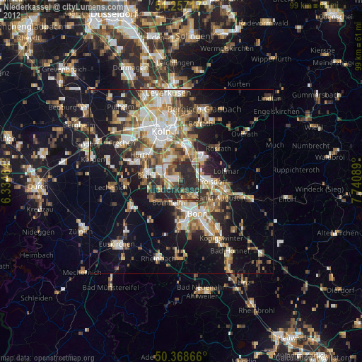
» Earth at Night: Flat Maps 2012, 2016