Nettetal night lights from space
Night Light of Nettetal (North Rhine-Westphalia) from space (Germany) Src. Average luminocity for 10x10km area is 14.8543% and for 50x50km: 20.3126%.
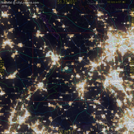
Analysis of Nettetal night lights 2016
Square area 10x10 km:
 0.56%
0.56%90-99
1.26%80-89
0.98%70-79
1.12%60-69
0.84%50-59
2.52%40-49
5.04%30-39
1.68%20-29
2.1%10-19
16.67%0-9
67.23%Square area 50x50 km:
2.22%90-99
3.17%80-89
1.86%70-79
1.89%60-69
2.39%50-59
3.05%40-49
3.78%30-39
3.17%20-29
7.04%10-19
18.46%0-9
52.97%Clear (daylight) street map image can be seen on geolist.org.
Map coordinates:
51° 45' 14.5" North, 5° 34' 48.8" East
51° 19' 0" North, 6° 16' 60" East
50° 52' 30.4" North, 6° 59' 11.3" East
Some cities around Nettetal sort by population:
• Venlo, NL
10 km =6.2 mi,  306°
306°
• Viersen
10.4 km =6.5 mi,  131°
131°
• Kempen
10.8 km =6.7 mi,  60°
60°
• Tegelen, NL
10.7 km =6.6 mi,  286°
286°
• Schwalmtal
11.2 km =7 mi,  185°
185°
• Brüggen
10.9 km =6.8 mi,  219°
219°
• Grefrath
4.5 km =2.8 mi, 61°
• Wachtendonk
11 km =6.8 mi,  20°
20°
2866333 (p: 42,417)
Sources (retrieved 2019-11-25):
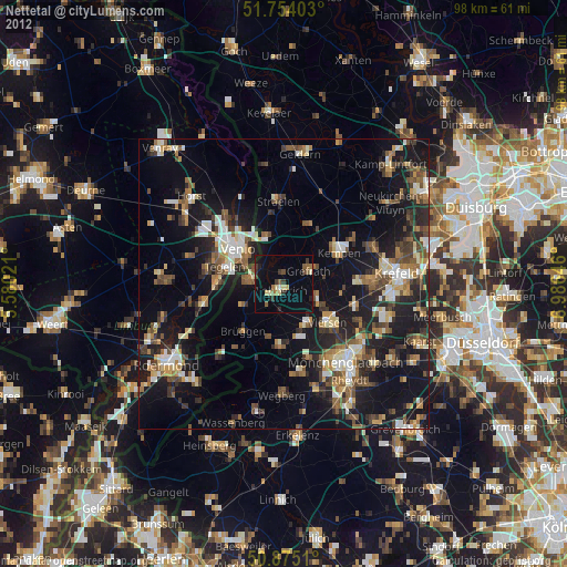
» Earth at Night: Flat Maps 2012, 2016