Tegelen night lights from space
Night Light of Tegelen (Limburg) from space (Netherlands) Src. Average luminocity for 10x10km area is 49.8964% and for 50x50km: 15.0782%.
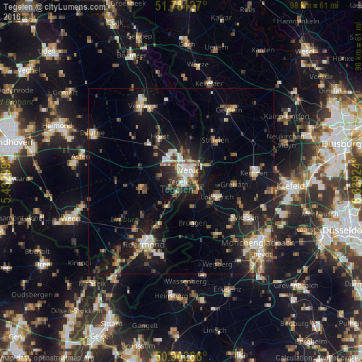
Analysis of Tegelen night lights 2016
Square area 10x10 km:
 10.92%
90-99
11.34%80-89
3.78%70-79
5.04%60-69
4.76%50-59
8.12%40-49
6.3%30-39
10.5%20-29
17.37%10-19
18.91%0-9
2.94%Square area 50x50 km:
1.66%90-99
2.31%80-89
1.41%70-79
1.54%60-69
1.61%50-59
2.32%40-49
2.77%30-39
2.07%20-29
4.53%10-19
13.08%0-9
66.69%Clear (daylight) street map image can be seen on geolist.org.
Map coordinates:
51° 46' 52.6" North, 5° 25' 58.8" East
51° 20' 39" North, 6° 8' 10" East
50° 54' 10.3" North, 6° 50' 21.3" East
Some cities around Tegelen sort by population:
• Venlo
3.6 km =2.2 mi,  37°
37°
• Nettetal, DE
10.7 km =6.6 mi,  106°
106°
• Panningen
11.1 km =6.9 mi,  259°
259°
• Reuver
7.8 km =4.8 mi,  211°
211°
• Helden
9.9 km =6.2 mi,  253°
253°
• Baarlo
3.3 km =2.1 mi,  242°
242°
• Maasbree
6.3 km =3.9 mi,  283°
283°
• Sevenum
10.2 km =6.3 mi,  317°
317°
2746504 (p: 20,190)
Sources (retrieved 2019-11-25):
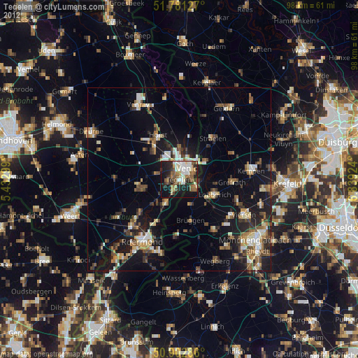
» Earth at Night: Flat Maps 2012, 2016