Venlo night lights from space
Night Light of Venlo (Limburg) from space (Netherlands) Src. Average luminocity for 10x10km area is 56.6597% and for 50x50km: 15.2238%.
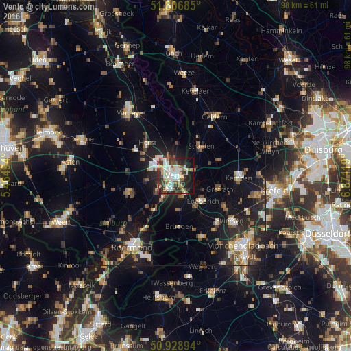


Analysis of Venlo night lights 2016
Square area 10x10 km:
 14.99%
90-99
13.73%80-89
4.9%70-79
6.02%60-69
3.5%50-59
9.24%40-49
7.42%30-39
11.2%20-29
13.45%10-19
14.43%0-9
1.12%Square area 50x50 km:
1.68%90-99
2.33%80-89
1.46%70-79
1.47%60-69
1.67%50-59
2.42%40-49
2.88%30-39
2%20-29
5.02%10-19
12.46%0-9
66.6%Clear (daylight) street map image can be seen on geolist.org.
Map coordinates:
51° 48' 24.7" North, 5° 27' 53.8" East
51° 22' 12" North, 6° 10' 5" East
50° 55' 44.2" North, 6° 52' 16.3" East
Some cities around Venlo sort by population:
• Nettetal, DE
10 km =6.2 mi,  126°
126°
• Tegelen
3.6 km =2.2 mi,  217°
217°
• Straelen, DE
10.5 km =6.5 mi,  40°
40°
• Arcen
11.9 km =7.4 mi,  4°
4°
• Reuver
11.4 km =7.1 mi,  213°
213°
• Baarlo
6.7 km =4.2 mi,  229°
229°
• Maasbree
8.4 km =5.2 mi,  260°
260°
• Sevenum
10.2 km =6.3 mi,  297°
297°
2745641 (p: 92,403)
Sources (retrieved 2019-11-25):
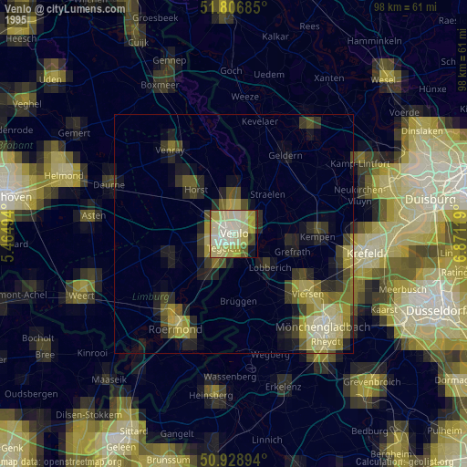
» NASA, Earths city lights 1995
» NASA city lights 2003
» Earth at Night: Flat Maps 2012, 2016