Viersen night lights from space
Night Light of Viersen (North Rhine-Westphalia) from space (Germany) Src. Average luminocity for 10x10km area is 31.5672% and for 50x50km: 26.3746%.
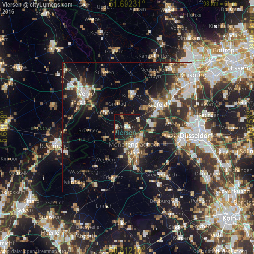
Analysis of Viersen night lights 2016
Square area 10x10 km:
 2.52%
2.52%90-99
4.34%80-89
4.62%70-79
1.4%60-69
3.64%50-59
4.34%40-49
5.46%30-39
4.76%20-29
20.45%10-19
40.48%0-9
7.98%Square area 50x50 km:
4.26%90-99
4.91%80-89
2.17%70-79
2.47%60-69
2.91%50-59
3.98%40-49
4.57%30-39
4.39%20-29
8.33%10-19
16.82%0-9
45.19%Clear (daylight) street map image can be seen on geolist.org.
Map coordinates:
51° 41' 32.3" North, 5° 41' 28.6" East
51° 15' 15.7" North, 6° 23' 39.9" East
50° 48' 43.8" North, 7° 5' 51.1" East
Some cities around Viersen sort by population:
• Mönchengladbach
8.3 km =5.2 mi,  156°
156°
• Willich
10.7 km =6.6 mi,  84°
84°
• Nettetal
10.4 km =6.5 mi,  311°
311°
• Kempen
12.3 km =7.6 mi,  7°
7°
• Korschenbroich
10.9 km =6.8 mi,  130°
130°
• Tönisvorst
10.1 km =6.3 mi,  43°
43°
• Schwalmtal
9.8 km =6.1 mi,  244°
244°
• Grefrath
9.8 km =6.1 mi,  337°
337°
2817311 (p: 76,153)
Sources (retrieved 2019-11-25):
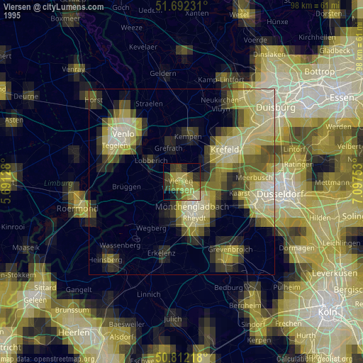
» NASA, Earths city lights 1995
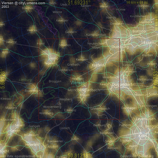
» NASA city lights 2003
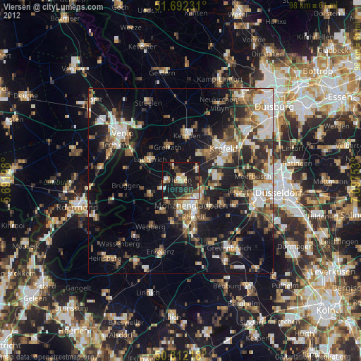
» Earth at Night: Flat Maps 2012, 2016