Moers night lights from space
Night Light of Moers (North Rhine-Westphalia) from space (Germany) Src. Average luminocity for 10x10km area is 42.8717% and for 50x50km: 33.7039%.
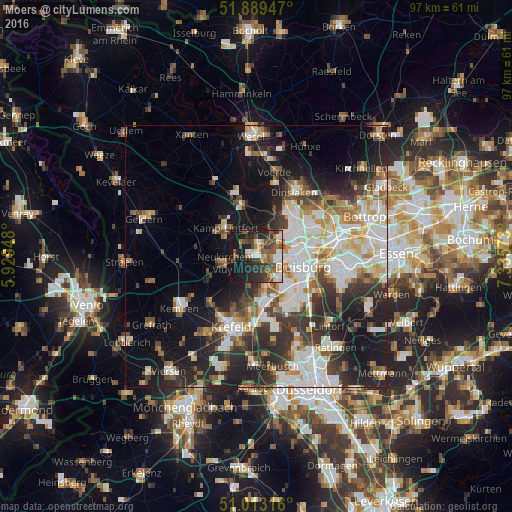
Analysis of Moers night lights 2016
Square area 10x10 km:
 5.61%
5.61%90-99
7.35%80-89
4.95%70-79
4.01%60-69
4.28%50-59
8.42%40-49
11.63%30-39
9.63%20-29
12.57%10-19
27.94%0-9
3.61%Square area 50x50 km:
7.41%90-99
7.94%80-89
3.24%70-79
3.27%60-69
3.46%50-59
3.88%40-49
4.18%30-39
5.75%20-29
9.01%10-19
14.65%0-9
37.2%Clear (daylight) street map image can be seen on geolist.org.
Map coordinates:
51° 53' 22.1" North, 5° 55' 46.1" East
51° 27' 12.3" North, 6° 37' 57.4" East
51° 0' 47.4" North, 7° 20' 8.6" East
Some cities around Moers sort by population:
• Duisburg
9.5 km =5.9 mi,  104°
104°
• Krefeld
14.1 km =8.8 mi,  202°
202°
• Dinslaken
14.3 km =8.9 mi,  32°
32°
• Meiderich
9.4 km =5.8 mi,  80°
80°
• Kamp-Lintfort
8.3 km =5.2 mi,  313°
313°
• Rheinberg
10.7 km =6.6 mi,  345°
345°
• Hochfeld
9.3 km =5.8 mi,  114°
114°
• Rheurdt
11.6 km =7.2 mi,  277°
277°
2870221 (p: 107,816)
Sources (retrieved 2019-11-25):
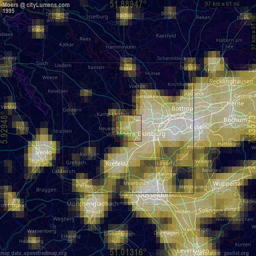
» NASA, Earths city lights 1995
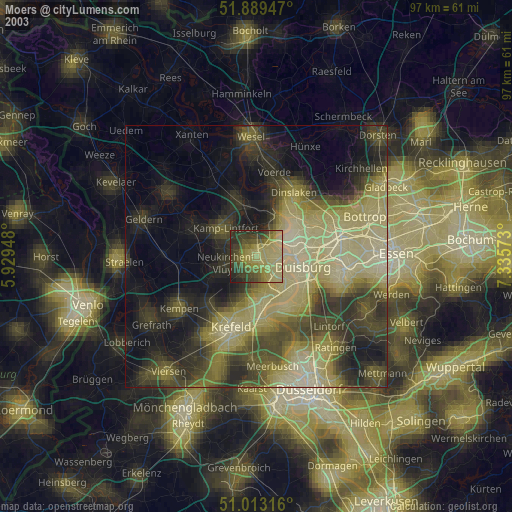
» NASA city lights 2003
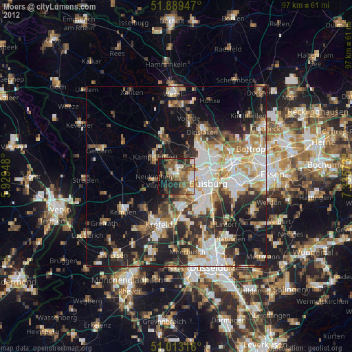
» Earth at Night: Flat Maps 2012, 2016