Meiderich night lights from space
Night Light of Meiderich (North Rhine-Westphalia) from space (Germany) Src. Average luminocity for 10x10km area is 89.0147% and for 50x50km: 40.9368%.
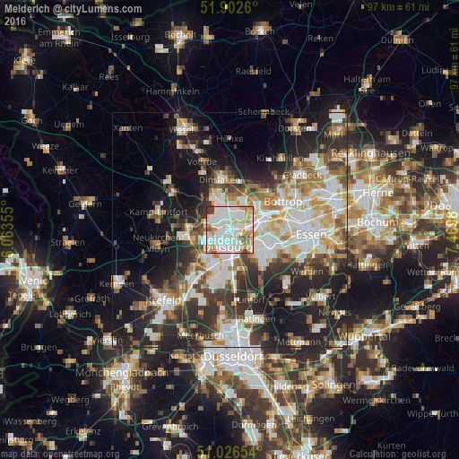
Analysis of Meiderich night lights 2016
Square area 10x10 km:
 35.83%
90-99
31.55%80-89
8.82%70-79
10.29%60-69
4.95%50-59
3.34%40-49
3.74%30-39
1.47%20-29
0%10-19
0%0-9
0%Square area 50x50 km:
9.07%90-99
9.34%80-89
4.41%70-79
4.4%60-69
4.72%50-59
5.03%40-49
4.71%30-39
6.58%20-29
10.78%10-19
16.75%0-9
24.2%Clear (daylight) street map image can be seen on geolist.org.
Map coordinates:
51° 54' 9.4" North, 6° 3' 48.8" East
51° 28' 0" North, 6° 46' 0" East
51° 1' 35.5" North, 7° 28' 11.3" East
Some cities around Meiderich sort by population:
• Duisburg
3.8 km =2.4 mi,  181°
181°
• Oberhausen
6.8 km =4.2 mi,  79°
79°
• Mülheim
8.7 km =5.4 mi,  116°
116°
• Bottrop
12.9 km =8 mi,  60°
60°
• Moers
9.4 km =5.8 mi,  260°
260°
• Dinslaken
10.8 km =6.7 mi,  351°
351°
• Rheinberg
14.8 km =9.2 mi,  306°
306°
• Hochfeld
5.3 km =3.3 mi,  189°
189°
2872347 (p: 45,297)
Sources (retrieved 2019-11-25):
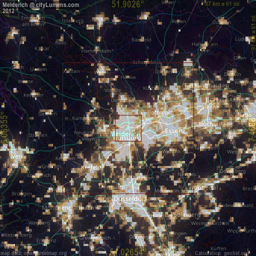
» Earth at Night: Flat Maps 2012, 2016