Rheinberg night lights from space
Night Light of Rheinberg (North Rhine-Westphalia) from space (Germany) Src. Average luminocity for 10x10km area is 16.1176% and for 50x50km: 23.6999%.
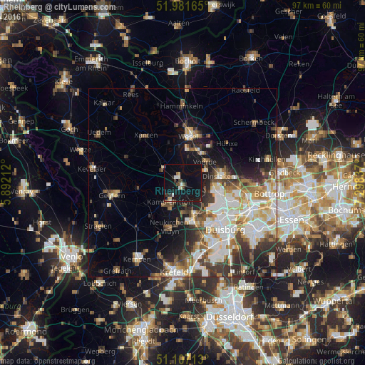
Analysis of Rheinberg night lights 2016
Square area 10x10 km:
 1.6%
1.6%90-99
2.14%80-89
1.87%70-79
0.53%60-69
0.67%50-59
1.2%40-49
2.27%30-39
2.41%20-29
2.01%10-19
26.2%0-9
59.09%Square area 50x50 km:
5.07%90-99
5.26%80-89
2.46%70-79
2.55%60-69
2.58%50-59
3.03%40-49
3.16%30-39
3.83%20-29
4.35%10-19
9.76%0-9
57.94%Clear (daylight) street map image can be seen on geolist.org.
Map coordinates:
51° 58' 53.9" North, 5° 53' 31.6" East
51° 32' 47.4" North, 6° 35' 42.9" East
51° 6' 25.7" North, 7° 17' 54.1" East
Some cities around Rheinberg sort by population:
• Moers
10.7 km =6.6 mi,  165°
165°
• Dinslaken
10.4 km =6.5 mi,  80°
80°
• Kamp-Lintfort
5.8 km =3.6 mi,  216°
216°
• Voerde
8.4 km =5.2 mi,  48°
48°
• Hünxe
12 km =7.5 mi,  35°
35°
• Alpen
6.8 km =4.2 mi,  307°
307°
• Issum
11.3 km =7 mi,  262°
262°
• Rheurdt
12.6 km =7.8 mi,  225°
225°
2847662 (p: 32,188)
Sources (retrieved 2019-11-25):
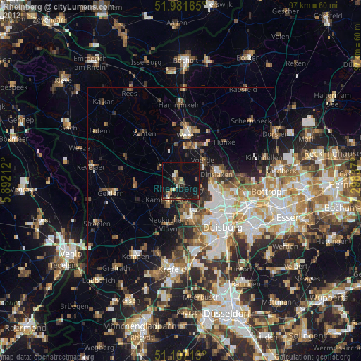
» Earth at Night: Flat Maps 2012, 2016