Lunzenau night lights from space
Night Light of Lunzenau (Saxony) from space (Germany) Src. Average luminocity for 10x10km area is 2.3011% and for 50x50km: 7.5423%.
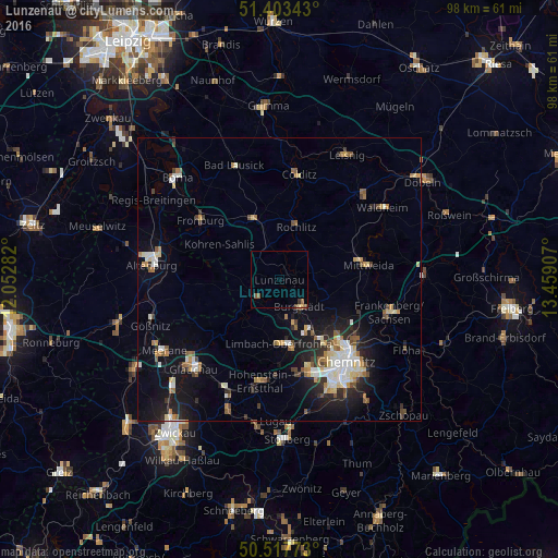
Analysis of Lunzenau night lights 2016
Square area 10x10 km:
 0%
0%90-99
0%80-89
0.42%70-79
0.14%60-69
0.56%50-59
1.12%40-49
0.56%30-39
0.56%20-29
0%10-19
0%0-9
96.64%Square area 50x50 km:
1.01%90-99
1.34%80-89
0.9%70-79
0.67%60-69
0.99%50-59
1.03%40-49
0.7%30-39
0.78%20-29
1.93%10-19
5.32%0-9
85.33%Clear (daylight) street map image can be seen on geolist.org.
Map coordinates:
51° 24' 12.3" North, 12° 3' 10.2" East
50° 57' 45.7" North, 12° 45' 21.4" East
50° 31' 3.8" North, 13° 27' 32.7" East
Some cities around Lunzenau sort by population:
• Limbach-Oberfrohna
11.6 km =7.2 mi,  178°
178°
• Mittweida
15.6 km =9.7 mi,  80°
80°
• Burgstädt
6.5 km =4 mi,  147°
147°
• Penig
4.9 km =3 mi,  228°
228°
• Rochlitz
10.1 km =6.3 mi,  16°
16°
• Geithain
11.1 km =6.9 mi,  338°
338°
• Callenberg
15.2 km =9.4 mi,  214°
214°
• Geringswalde
16.5 km =10.3 mi,  39°
39°
2875067 (p: 5,138)
Sources (retrieved 2019-11-25):
» Earth at Night: Flat Maps 2012, 2016