Lennestadt night lights from space
Night Light of Lennestadt (North Rhine-Westphalia) from space (Germany) Src. Average luminocity for 10x10km area is 1.0682% and for 50x50km: 1.6355%.
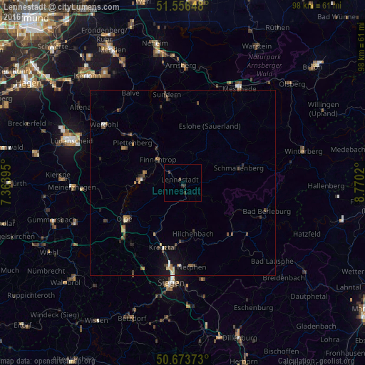
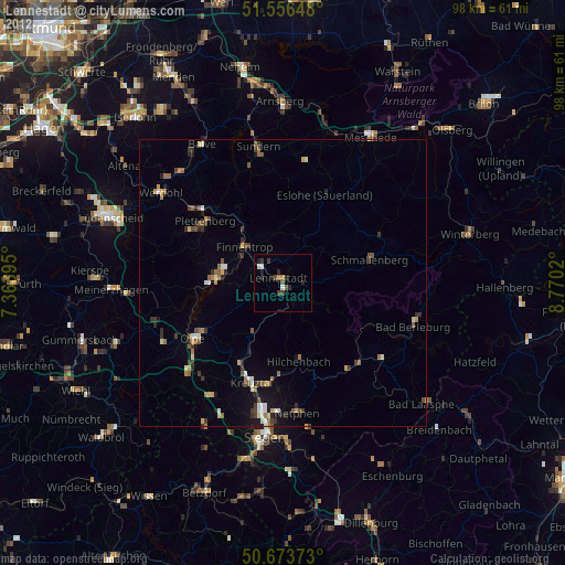
Analysis of Lennestadt night lights 2016
Square area 10x10 km:
 0%
0%90-99
0%80-89
0%70-79
0%60-69
0%50-59
0%40-49
0.8%30-39
1.34%20-29
0.53%10-19
0.53%0-9
96.79%Square area 50x50 km:
0.05%90-99
0.18%80-89
0.12%70-79
0.2%60-69
0.26%50-59
0.26%40-49
0.44%30-39
0.34%20-29
0.42%10-19
0.74%0-9
96.99%Clear (daylight) street map image can be seen on geolist.org.
Map coordinates:
51° 33' 23.3" North, 7° 21' 50.2" East
51° 7' 2" North, 8° 4' 1.5" East
50° 40' 25.4" North, 8° 46' 12.7" East
Some cities around Lennestadt sort by population:
• Kreuztal
17.5 km =10.9 mi,  198°
198°
• Plettenberg
17 km =10.6 mi,  307°
307°
• Schmallenberg
15.8 km =9.8 mi,  74°
74°
• Attendorn
11.5 km =7.1 mi,  275°
275°
• Finnentrop
8.7 km =5.4 mi, 310°
• Hilchenbach
13.7 km =8.5 mi,  167°
167°
• Kirchhundem
3.8 km =2.4 mi,  156°
156°
• Eslohe
16.8 km =10.4 mi,  25°
25°
2878784 (p: 28,102)
Sources (retrieved 2019-11-25):
» Earth at Night: Flat Maps 2012, 2016