Plettenberg night lights from space
Night Light of Plettenberg (North Rhine-Westphalia) from space (Germany) Src. Average luminocity for 10x10km area is 2.8641% and for 50x50km: 4.7996%.
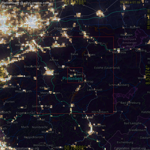
Analysis of Plettenberg night lights 2016
Square area 10x10 km:
 0%
0%90-99
0%80-89
0%70-79
0%60-69
1.68%50-59
0.56%40-49
0.56%30-39
0.14%20-29
1.82%10-19
0.28%0-9
94.96%Square area 50x50 km:
0.33%90-99
0.48%80-89
0.37%70-79
0.58%60-69
0.84%50-59
0.76%40-49
0.98%30-39
0.7%20-29
0.71%10-19
4.86%0-9
89.39%Clear (daylight) street map image can be seen on geolist.org.
Map coordinates:
51° 38' 52.4" North, 7° 10' 10.2" East
51° 12' 34.2" North, 7° 52' 21.4" East
50° 46' 0.8" North, 8° 34' 32.7" East
Some cities around Plettenberg sort by population:
• Sundern
16 km =9.9 mi,  34°
34°
• Attendorn
9.5 km =5.9 mi,  166°
166°
• Altena
16.8 km =10.4 mi,  304°
304°
• Werdohl
9.3 km =5.8 mi,  307°
307°
• Finnentrop
8.4 km =5.2 mi,  123°
123°
• Neuenrade
10.3 km =6.4 mi,  322°
322°
• Balve
13.6 km =8.5 mi,  357°
357°
• Herscheid
9.6 km =6 mi,  249°
249°
2853209 (p: 28,206)
Sources (retrieved 2019-11-25):
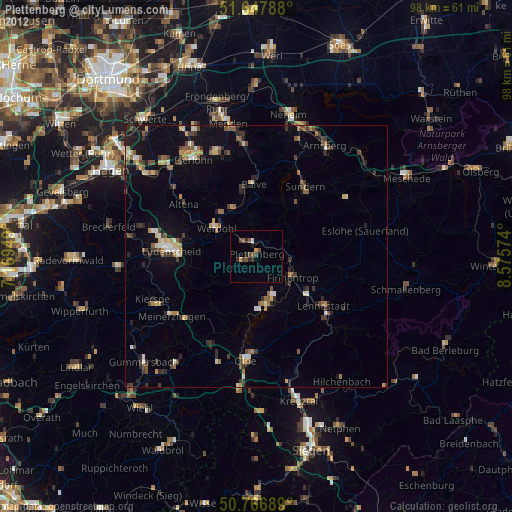
» Earth at Night: Flat Maps 2012, 2016