Hilchenbach night lights from space
Night Light of Hilchenbach (North Rhine-Westphalia) from space (Germany) Src. Average luminocity for 10x10km area is 0.877% and for 50x50km: 2.1886%.
Analysis of Hilchenbach night lights 2016
Square area 10x10 km:
 0%
0%90-99
0%80-89
0%70-79
0%60-69
0%50-59
0%40-49
0.8%30-39
0.53%20-29
0%10-19
0.53%0-9
98.13%Square area 50x50 km:
0.11%90-99
0.22%80-89
0.15%70-79
0.26%60-69
0.38%50-59
0.33%40-49
0.54%30-39
0.54%20-29
0.49%10-19
1.22%0-9
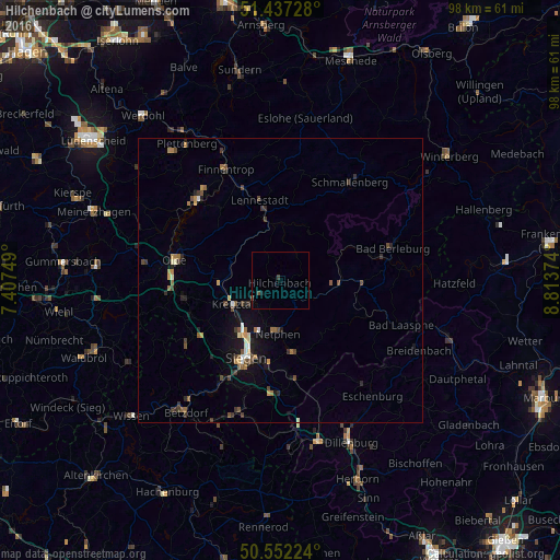
95.75%Clear (daylight) street map image can be seen on geolist.org.
Map coordinates:
51° 26' 14.2" North, 7° 24' 27" East
50° 59' 48.7" North, 8° 6' 38.2" East
50° 33' 8.1" North, 8° 48' 49.5" East
Some cities around Hilchenbach sort by population:
• Siegen
14.9 km =9.3 mi,  204°
204°
• Kreuztal
9.1 km =5.7 mi,  249°
249°
• Lennestadt
13.7 km =8.5 mi,  347°
347°
• Olpe
18.5 km =11.5 mi,  281°
281°
• Netphen
8.9 km =5.5 mi,  184°
184°
• Wenden
17.4 km =10.8 mi,  258°
258°
• Kirchhundem
10 km =6.2 mi, 351°
• Erndtebrück
10 km =6.2 mi,  94°
94°
2904808 (p: 16,467)
Sources (retrieved 2019-11-25):
» Earth at Night: Flat Maps 2012, 2016