Kirchhundem night lights from space
Night Light of Kirchhundem (North Rhine-Westphalia) from space (Germany) Src. Average luminocity for 10x10km area is 0.7674% and for 50x50km: 1.9757%.
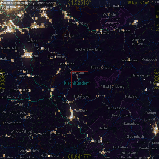
Analysis of Kirchhundem night lights 2016
Square area 10x10 km:
 0%
0%90-99
0%80-89
0%70-79
0%60-69
0%50-59
0%40-49
0.4%30-39
1.2%20-29
0.53%10-19
0%0-9
97.86%Square area 50x50 km:
0.12%90-99
0.24%80-89
0.15%70-79
0.24%60-69
0.33%50-59
0.33%40-49
0.48%30-39
0.37%20-29
0.47%10-19
1.03%0-9
96.24%Clear (daylight) street map image can be seen on geolist.org.
Map coordinates:
51° 31' 30.5" North, 7° 23' 8.9" East
51° 5' 8" North, 8° 5' 20.1" East
50° 38' 30.4" North, 8° 47' 31.4" East
Some cities around Kirchhundem sort by population:
• Kreuztal
14.9 km =9.3 mi,  208°
208°
• Lennestadt
3.8 km =2.4 mi,  336°
336°
• Schmallenberg
15.7 km =9.8 mi,  60°
60°
• Olpe
17.8 km =11.1 mi,  249°
249°
• Attendorn
13.7 km =8.5 mi,  289°
289°
• Finnentrop
12.2 km =7.6 mi,  318°
318°
• Hilchenbach
10 km =6.2 mi,  171°
171°
• Erndtebrück
15.7 km =9.8 mi,  133°
133°
2890442 (p: 12,966)
Sources (retrieved 2019-11-25):
» Earth at Night: Flat Maps 2012, 2016