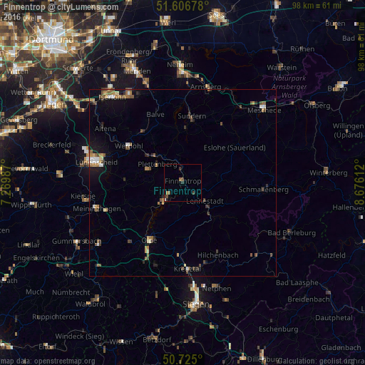
Finnentrop night lights from space
Night Light of Finnentrop (North Rhine-Westphalia) from space (Germany) Src. Average luminocity for 10x10km area is 3.377% and for 50x50km: 3.0252%.
Analysis of Finnentrop night lights 2016
Square area 10x10 km:
 0.13%
0.13%90-99
0.4%80-89
0%70-79
0.27%60-69
0.8%50-59
0.94%40-49
1.07%30-39
1.74%20-29
0%10-19
0.53%0-9
94.12%Square area 50x50 km:
0.24%90-99
0.33%80-89
0.26%70-79
0.36%60-69
0.52%50-59
0.57%40-49
0.66%30-39
0.42%20-29
0.47%10-19
1.65%0-9
94.53%Clear (daylight) street map image can be seen on geolist.org.
Map coordinates:
51° 36' 24.4" North, 7° 16' 11.5" East
51° 10' 4.8" North, 7° 58' 22.8" East
50° 43' 30" North, 8° 40' 34" East
Some cities around Finnentrop sort by population:
• Plettenberg
8.4 km =5.2 mi,  303°
303°
• Lennestadt
8.7 km =5.4 mi,  130°
130°
• Olpe
17.6 km =10.9 mi,  208°
208°
• Attendorn
6.7 km =4.2 mi,  226°
226°
• Werdohl
17.7 km =11 mi,  305°
305°
• Kirchhundem
12.2 km =7.6 mi,  138°
138°
• Eslohe
16.7 km =10.4 mi,  55°
55°
• Herscheid
16 km =9.9 mi,  274°
274°
2926716 (p: 18,427)
Sources (retrieved 2019-11-25):
» Earth at Night: Flat Maps 2012, 2016