Eslohe night lights from space
Night Light of Eslohe (North Rhine-Westphalia) from space (Germany) Src. Average luminocity for 10x10km area is 0% and for 50x50km: 1.6191%.
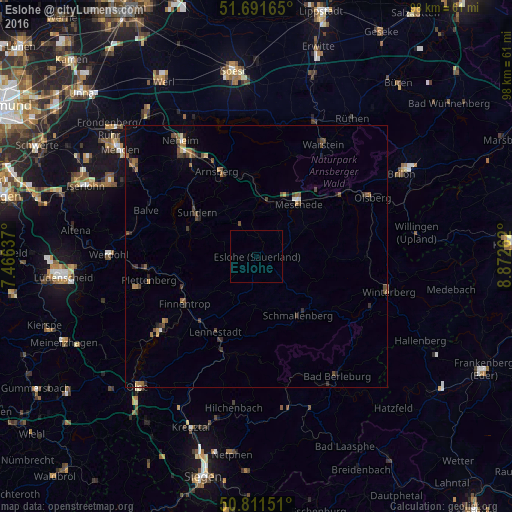
Analysis of Eslohe night lights 2016
Square area 10x10 km:
 0%
0%90-99
0%80-89
0%70-79
0%60-69
0%50-59
0%40-49
0%30-39
0%20-29
0%10-19
0%0-9
100%Square area 50x50 km:
0.04%90-99
0.11%80-89
0.06%70-79
0.16%60-69
0.4%50-59
0.33%40-49
0.58%30-39
0.31%20-29
0.41%10-19
0.35%0-9
97.25%Clear (daylight) street map image can be seen on geolist.org.
Map coordinates:
51° 41' 29.9" North, 7° 27' 58.9" East
51° 15' 13.3" North, 8° 10' 10.2" East
50° 48' 41.4" North, 8° 52' 21.4" East
Some cities around Eslohe sort by population:
• Arnsberg
15.6 km =9.7 mi,  337°
337°
• Meschede
13.3 km =8.3 mi,  36°
36°
• Sundern
14.2 km =8.8 mi,  305°
305°
• Lennestadt
16.8 km =10.4 mi,  205°
205°
• Schmallenberg
13.6 km =8.5 mi,  143°
143°
• Finnentrop
16.7 km =10.4 mi,  235°
235°
• Kirchhundem
19.5 km =12.1 mi,  196°
196°
• Bestwig
20 km =12.4 mi,  53°
53°
2928890 (p: 9,304)
Sources (retrieved 2019-11-25):
» Earth at Night: Flat Maps 2012, 2016