Erndtebrück night lights from space
Night Light of Erndtebrück (North Rhine-Westphalia) from space (Germany) Src. Average luminocity for 10x10km area is 0.8115% and for 50x50km: 1.7944%.
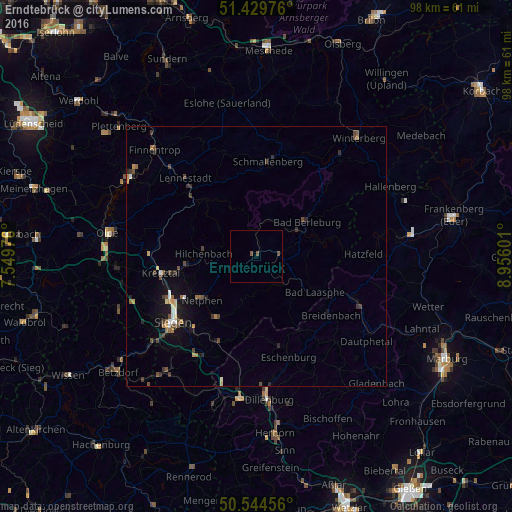
Analysis of Erndtebrück night lights 2016
Square area 10x10 km:
 0%
0%90-99
0%80-89
0%70-79
0%60-69
0%50-59
1.07%40-49
0.53%30-39
0%20-29
0%10-19
0%0-9
98.4%Square area 50x50 km:
0.11%90-99
0.17%80-89
0.15%70-79
0.21%60-69
0.22%50-59
0.25%40-49
0.55%30-39
0.44%20-29
0.35%10-19
1.19%0-9
96.36%Clear (daylight) street map image can be seen on geolist.org.
Map coordinates:
51° 25' 47.1" North, 7° 32' 59.1" East
50° 59' 21.4" North, 8° 15' 10.4" East
50° 32' 40.4" North, 8° 57' 21.6" East
Some cities around Erndtebrück sort by population:
• Kreuztal
18.7 km =11.6 mi,  262°
262°
• Schmallenberg
18.5 km =11.5 mi,  6°
6°
• Netphen
13.4 km =8.3 mi,  232°
232°
• Bad Berleburg
12 km =7.5 mi,  54°
54°
• Hilchenbach
10 km =6.2 mi,  274°
274°
• Bad Laasphe
13.7 km =8.5 mi,  118°
118°
• Kirchhundem
15.7 km =9.8 mi,  313°
313°
• Breidenbach
18.3 km =11.4 mi,  128°
128°
2929370 (p: 7,685)
Sources (retrieved 2019-11-25):
» Earth at Night: Flat Maps 2012, 2016