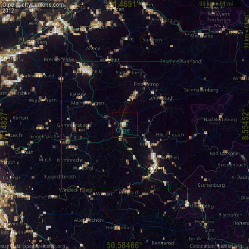
Olpe night lights from space
Night Light of Olpe (North Rhine-Westphalia) from space (Germany) Src. Average luminocity for 10x10km area is 6.0187% and for 50x50km: 3.8024%.
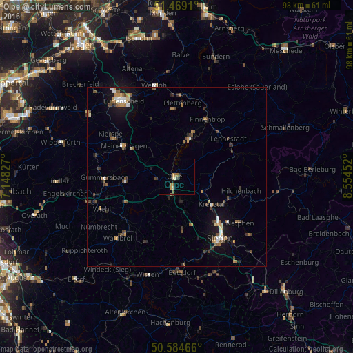
Analysis of Olpe night lights 2016
Square area 10x10 km:
 0%
0%90-99
1.34%80-89
0.53%70-79
1.34%60-69
1.74%50-59
0.67%40-49
0%30-39
0.8%20-29
1.07%10-19
0.27%0-9
92.25%Square area 50x50 km:
0.34%90-99
0.42%80-89
0.27%70-79
0.57%60-69
0.6%50-59
0.58%40-49
0.84%30-39
0.61%20-29
0.57%10-19
2.49%0-9
92.71%Clear (daylight) street map image can be seen on geolist.org.
Map coordinates:
51° 28' 8.8" North, 7° 8' 53.8" East
51° 1' 44.4" North, 7° 51' 5" East
50° 35' 4.8" North, 8° 33' 16.3" East
Some cities around Olpe sort by population:
• Kreuztal
11.8 km =7.3 mi,  125°
125°
• Attendorn
11.4 km =7.1 mi,  18°
18°
• Meinerzhagen
16.6 km =10.3 mi,  301°
301°
• Bergneustadt
13.7 km =8.5 mi,  268°
268°
• Wenden
7 km =4.3 mi,  171°
171°
• Freudenberg
14.7 km =9.1 mi, 173°
• Finnentrop
17.6 km =10.9 mi,  28°
28°
• Drolshagen
5.5 km =3.4 mi,  263°
263°
2857306 (p: 25,686)
Sources (retrieved 2019-11-25):
» Earth at Night: Flat Maps 2012, 2016