Bad Berleburg night lights from space
Night Light of Bad Berleburg (North Rhine-Westphalia) from space (Germany) Src. Average luminocity for 10x10km area is 0.6511% and for 50x50km: 0.7796%.
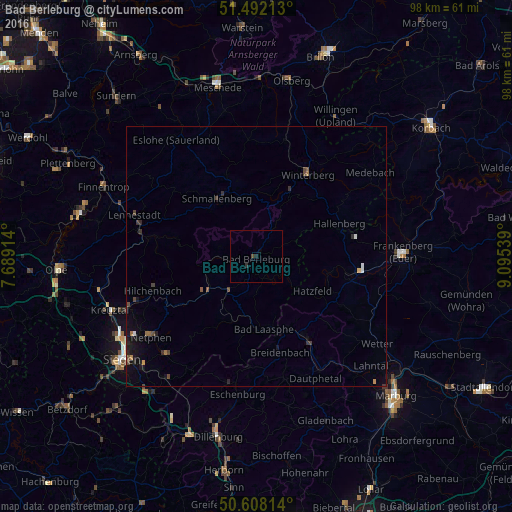
Analysis of Bad Berleburg night lights 2016
Square area 10x10 km:
 0%
0%90-99
0%80-89
0%70-79
0%60-69
0%50-59
0%40-49
0.53%30-39
0%20-29
1.07%10-19
0%0-9
98.4%Square area 50x50 km:
0.06%90-99
0.04%80-89
0.03%70-79
0.07%60-69
0.1%50-59
0.08%40-49
0.28%30-39
0.22%20-29
0.19%10-19
0.58%0-9
98.34%Clear (daylight) street map image can be seen on geolist.org.
Map coordinates:
51° 29' 31.7" North, 7° 41' 20.9" East
51° 3' 8.1" North, 8° 23' 32.2" East
50° 36' 29.3" North, 9° 5' 43.4" East
Some cities around Bad Berleburg sort by population:
• Schmallenberg
13.6 km =8.5 mi,  326°
326°
• Bad Laasphe
13.6 km =8.5 mi,  170°
170°
• Winterberg
18.5 km =11.5 mi,  32°
32°
• Biedenkopf
18.4 km =11.4 mi,  148°
148°
• Erndtebrück
12 km =7.5 mi,  234°
234°
• Breidenbach
18.9 km =11.7 mi, 166°
• Allendorf
19.7 km =12.2 mi,  97°
97°
• Battenberg
18.2 km =11.3 mi, 103°
2953545 (p: 20,757)
Sources (retrieved 2019-11-25):
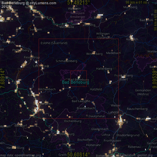
» Earth at Night: Flat Maps 2012, 2016