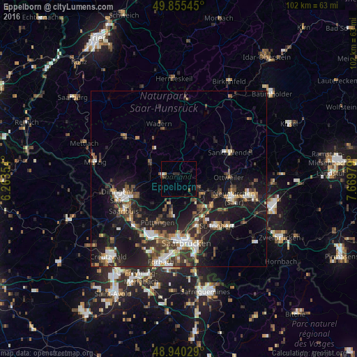
Eppelborn night lights from space
Night Light of Eppelborn (Saarland) from space (Germany) Src. Average luminocity for 10x10km area is 4.2313% and for 50x50km: 13.9652%.
Analysis of Eppelborn night lights 2016
Square area 10x10 km:
 0.67%
0.67%90-99
0.4%80-89
0%70-79
0.53%60-69
0.13%50-59
0.4%40-49
1.07%30-39
0%20-29
2.14%10-19
0.94%0-9
93.72%Square area 50x50 km:
1.89%90-99
2.02%80-89
0.98%70-79
1.18%60-69
1.64%50-59
2.25%40-49
2.47%30-39
2.85%20-29
5.06%10-19
13.55%0-9
66.1%Clear (daylight) street map image can be seen on geolist.org.
Map coordinates:
49° 51' 19.6" North, 6° 15' 48.7" East
49° 24' 0" North, 6° 58' 0" East
48° 56' 25" North, 7° 40' 11.2" East
Some cities around Eppelborn sort by population:
• Lebach
4.3 km =2.7 mi,  286°
286°
• Heusweiler
7.6 km =4.7 mi,  200°
200°
• Illingen
6.5 km =4 mi,  116°
116°
• Schmelz
9.2 km =5.7 mi, 293°
• Quierschied
11.1 km =6.9 mi,  146°
146°
• Tholey
10.6 km =6.6 mi,  28°
28°
• Marpingen
8.8 km =5.5 mi,  48°
48°
• Merchweiler
8.2 km =5.1 mi,  132°
132°
2929865 (p: 18,079)
Sources (retrieved 2019-11-25):
» Earth at Night: Flat Maps 2012, 2016