Heusweiler night lights from space
Night Light of Heusweiler (Saarland) from space (Germany) Src. Average luminocity for 10x10km area is 11.135% and for 50x50km: 18.061%.
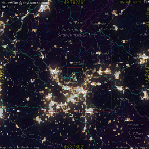
Analysis of Heusweiler night lights 2016
Square area 10x10 km:
 0.27%
0.27%90-99
0.27%80-89
0.67%70-79
0.94%60-69
1.47%50-59
1.74%40-49
3.21%30-39
2.14%20-29
1.34%10-19
19.92%0-9
68.05%Square area 50x50 km:
2.72%90-99
2.89%80-89
1.28%70-79
1.57%60-69
2.09%50-59
2.66%40-49
2.87%30-39
3.51%20-29
7.85%10-19
15.39%0-9
57.17%Clear (daylight) street map image can be seen on geolist.org.
Map coordinates:
49° 47' 32.5" North, 6° 13' 38.1" East
49° 20' 10.8" North, 6° 55' 49.3" East
48° 52' 33.7" North, 7° 38' 0.6" East
Some cities around Heusweiler sort by population:
• Lebach
8.5 km =5.3 mi,  349°
349°
• Püttlingen
6.5 km =4 mi,  208°
208°
• Schwalbach
9.2 km =5.7 mi,  243°
243°
• Eppelborn
7.6 km =4.7 mi,  20°
20°
• Riegelsberg
4 km =2.5 mi,  176°
176°
• Quierschied
8.9 km =5.5 mi,  104°
104°
• Saarwellingen
9.3 km =5.8 mi,  282°
282°
• Merchweiler
8.8 km =5.5 mi,  80°
80°
2904985 (p: 20,006)
Sources (retrieved 2019-11-25):
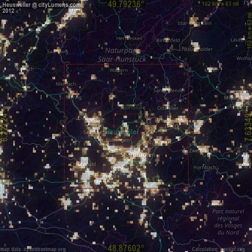
» Earth at Night: Flat Maps 2012, 2016