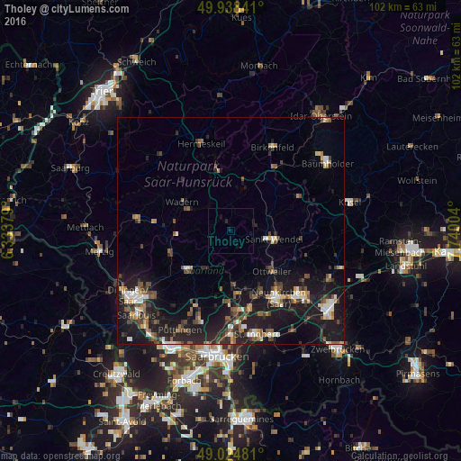
Tholey night lights from space
Night Light of Tholey (Saarland) from space (Germany) Src. Average luminocity for 10x10km area is 0.6667% and for 50x50km: 9.5144%.
Analysis of Tholey night lights 2016
Square area 10x10 km:
 0%
0%90-99
0%80-89
0%70-79
0%60-69
0%50-59
0%40-49
0%30-39
0%20-29
1.12%10-19
1.82%0-9
97.06%Square area 50x50 km:
0.95%90-99
1.13%80-89
0.8%70-79
0.79%60-69
1.12%50-59
1.55%40-49
1.9%30-39
1.54%20-29
3.43%10-19
11.2%0-9
75.59%Clear (daylight) street map image can be seen on geolist.org.
Map coordinates:
49° 56' 18.3" North, 6° 20' 1.6" East
49° 29' 1.5" North, 7° 2' 12.9" East
49° 1' 29.3" North, 7° 44' 24.1" East
Some cities around Tholey sort by population:
• Sankt Wendel
9.7 km =6 mi,  101°
101°
• Lebach
12.2 km =7.6 mi,  228°
228°
• Illingen
12.3 km =7.6 mi,  176°
176°
• Eppelborn
10.6 km =6.6 mi,  208°
208°
• Wadern
12.5 km =7.8 mi,  300°
300°
• Marpingen
3.8 km =2.4 mi,  156°
156°
• Namborn
8.6 km =5.3 mi,  60°
60°
• Oberthal
4.7 km =2.9 mi,  46°
46°
2822713 (p: 13,157)
Sources (retrieved 2019-11-25):
» Earth at Night: Flat Maps 2012, 2016