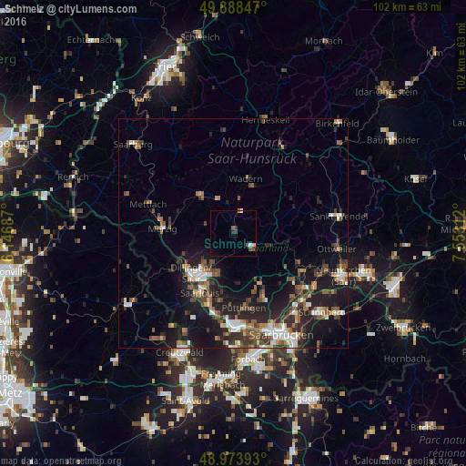
Schmelz night lights from space
Night Light of Schmelz (Saarland) from space (Germany) Src. Average luminocity for 10x10km area is 4.9706% and for 50x50km: 10.893%.
Analysis of Schmelz night lights 2016
Square area 10x10 km:
 0.84%
0.84%90-99
0.56%80-89
0%70-79
0.56%60-69
0%50-59
1.4%40-49
1.26%30-39
0.98%20-29
1.12%10-19
0.28%0-9
93%Square area 50x50 km:
1.34%90-99
1.48%80-89
0.78%70-79
0.85%60-69
1.52%50-59
1.96%40-49
2.15%30-39
2.11%20-29
3.81%10-19
9.72%0-9
74.27%Clear (daylight) street map image can be seen on geolist.org.
Map coordinates:
49° 53' 18.5" North, 6° 8' 48.7" East
49° 25' 60" North, 6° 51' 0" East
48° 58' 26.1" North, 7° 33' 11.2" East
Some cities around Schmelz sort by population:
• Lebach
5 km =3.1 mi,  119°
119°
• Heusweiler
12.3 km =7.6 mi,  151°
151°
• Eppelborn
9.2 km =5.7 mi,  113°
113°
• Wadern
12.3 km =7.6 mi,  12°
12°
• Losheim
11.4 km =7.1 mi,  318°
318°
• Beckingen
11.5 km =7.1 mi,  251°
251°
• Saarwellingen
9.4 km =5.8 mi,  200°
200°
• Nalbach
7.4 km =4.6 mi,  220°
220°
2837954 (p: 17,596)
Sources (retrieved 2019-11-25):
» Earth at Night: Flat Maps 2012, 2016